





An Eye in the Sky for Earthly Woes
When cyclones gather over the Bay of Bengal or rivers threaten to breach their banks, early and accurate information is the most valuable resource. This is the domain of Earth Observation (EO) satellites. Unlike communication satellites that relay signals,
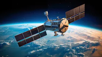
EO satellites are fitted with powerful sensors to monitor the planet's physical, chemical, and biological systems. For India, a country prone to a wide array of natural calamities, the Indian Space Research Organisation's (ISRO) EO program serves as a cornerstone of its national disaster management strategy. These satellites are the backbone of a system designed to provide actionable intelligence before, during, and after a disaster strikes.
The All-Weather Advantage of Radar Imaging
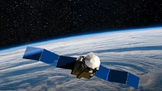
One of the most significant advancements in India's EO capabilities is the use of Synthetic Aperture Radar (SAR) technology. Satellites like EOS-04 (also known as RISAT-1A) carry SAR payloads, which are game-changers for disaster monitoring. While traditional optical satellites are blinded by cloud cover or darkness, radar can penetrate these obstacles. This all-weather, day-and-night capability is indispensable during monsoons and cyclones, when cloud cover is thickest. Radar signals can accurately map the extent of flooding by distinguishing between land and water, providing clear images of the ground situation to emergency responders when they need it most. This allows authorities to identify marooned villages and submerged infrastructure, guiding rescue operations with precision.
Covering the Entire Disaster Cycle
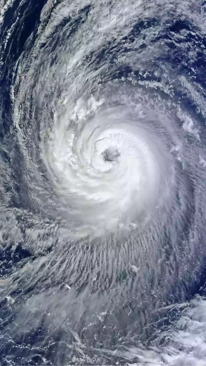
ISRO's Disaster Management Support Programme is not just about response; it contributes to every phase of the disaster management cycle. In the preparedness phase, satellite data helps create detailed hazard maps, identifying areas vulnerable to floods, landslides, and cyclones. For early warnings, satellites like the INSAT series and Oceansat-3 (EOS-06) continuously monitor oceanic and atmospheric conditions to track the formation and movement of cyclones, feeding crucial data to the India Meteorological Department. During a disaster, near real-time imagery guides the National Disaster Response Force. In the aftermath, satellites are used to conduct comprehensive damage assessments, which helps in planning recovery and reconstruction efforts efficiently.
A Legacy of Service and Future Ambitions
India's use of space technology for societal benefit has a long history, starting with the IRS satellite series in 1988. This legacy continues with the current generation of EOS satellites, which have proven their worth during numerous events, including the Kerala floods and various cyclones. While the specific designation 'EOS-05' is not yet official, it represents the next step in this evolution. Future satellites in the EOS series are expected to feature even higher resolution cameras and more advanced sensors. The goal is to reduce the time it takes to revisit a specific location and to use artificial intelligence to process the vast amounts of data more quickly, turning satellite images into life-saving information faster than ever before. Recent launches like EOS-08 have already added advanced capabilities for monitoring forest fires and floods.