




An Eye That Never Blinks
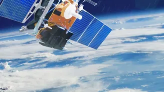
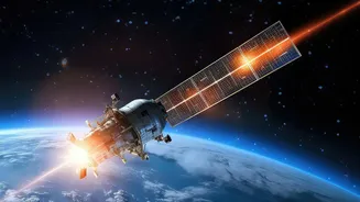
Most Earth observation satellites orbit from pole to pole, meaning they can only view a specific location for a few minutes before moving on. A geostationary satellite, however, is different. Placed in a high orbit around 36,000 kilometres above the equator,
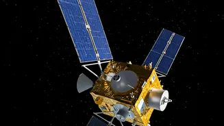
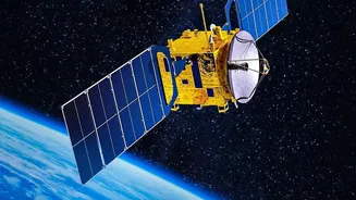
it matches the Earth's rotation perfectly. From our perspective, it appears to hover in the same spot, providing continuous coverage of a vast area. The Geo-Imaging Satellite (GISAT) program was conceived to give India precisely this capability. The first attempt, GISAT-1 (also known as EOS-03), was unfortunately lost during a launch failure in August 2021 when its GSLV rocket's cryogenic upper stage malfunctioned. Now, ISRO is preparing for its successor, GISAT-1A (or EOS-05), a mission that carries the nation's hopes for a state-of-the-art monitoring system.
The Power of Seeing More
What makes GISAT-1A a potential game-changer is its advanced imaging payload. The satellite is designed to carry a powerful telescope and an array of sensors that can see in multiple spectral bands—visible, near-infrared, and short-wave infrared. In simple terms, this means it can capture more than just a standard picture. It can detect heat signatures from forest fires, measure moisture levels in clouds, assess the health of vegetation, and distinguish between different types of terrain. This multispectral capability allows it to provide near real-time images of the entire Indian landmass roughly every half hour, and zoom in on specific areas of interest for a fresh look every five minutes. This rapid revisit capability is what sets it apart and makes it invaluable for tracking fast-moving events.
Transforming Weather Alerts
For a country frequently impacted by cyclones and monsoons, accurate weather forecasting is a matter of life and death. A geostationary imaging satellite could significantly enhance these predictions. Current weather satellites are excellent, but the ability to continuously monitor cloud formation, track the development of cyclonic systems in the Bay of Bengal and Arabian Sea, and observe atmospheric water vapour in real-time would provide meteorologists with an unprecedented stream of data. This constant watch allows for the early detection of severe weather patterns, leading to more accurate and timely warnings. Instead of seeing snapshots, forecasters can watch a storm evolve moment by moment, improving predictions of its intensity and path, and giving authorities more lead time to prepare coastal communities.
A Lifeline During Disasters
When disaster strikes, the first few hours are critical. A key challenge for response teams is understanding the scale of the damage in areas that are suddenly cut off. This is where GISAT-1A's capabilities would be indispensable. In the event of a flood, the satellite could quickly map the extent of inundated areas, helping rescuers identify the worst-hit villages and plan evacuation routes. After an earthquake or landslide, it could provide rapid damage assessment of critical infrastructure like roads, bridges, and power lines. For forest fires, its sensors could detect a blaze even in a remote area before it is spotted on the ground and then track its spread, helping firefighters deploy resources more effectively. This 'bird's-eye view' provides the clarity needed to save lives and coordinate relief efforts efficiently.
Beyond Emergencies: A National Asset
While its role in disaster management is paramount, the applications of a satellite like GISAT-1A extend much further. The data collected can be used for a wide range of national interests. It can monitor agricultural health across the country, helping to forecast crop yields and detect stress from drought. It can track the health of forests, monitor snow and glacier melt in the Himalayas to manage water resources, and keep an eye on India's vast land and maritime borders for security purposes. This dual-use capability, serving both civilian and strategic needs, makes the GISAT program a vital component of India's space infrastructure, providing crucial data for governance, economic planning, and national security.