


A New Eye in the Sky
Imagine having a tool that can see through the thickest monsoon clouds and the darkest nights to map every river, lake, and floodplain in India. That is the promise of NISAR, a groundbreaking Earth observation mission jointly developed by the Indian Space
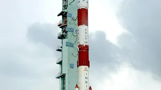
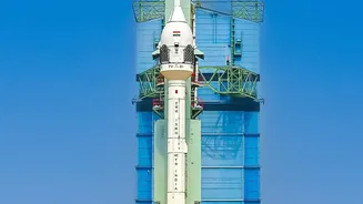
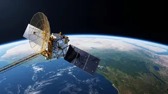
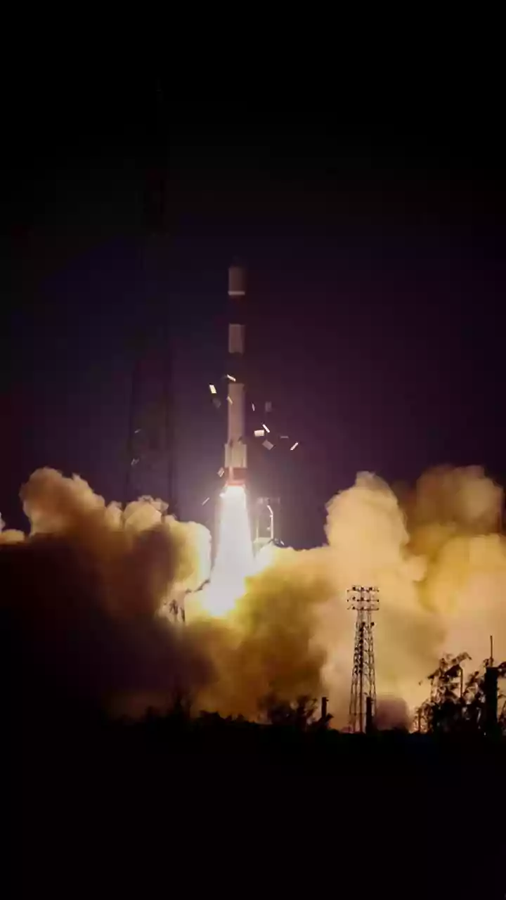
Research Organisation (ISRO) and NASA. Launched in mid-2025, this sophisticated satellite is now orbiting the Earth, equipped with advanced radar instruments designed to monitor our planet's surface in remarkable detail. For India, a nation whose lifeblood is deeply connected to its complex network of waterways, this collaboration represents a monumental leap forward in resource management and disaster preparedness.
The Power of Radar Vision
What makes NISAR so special is its use of Synthetic Aperture Radar (SAR). Unlike standard optical satellites that are essentially cameras in space, blinded by clouds or darkness, SAR can function in all weather conditions, day or night. This is a game-changer for monitoring India's waterways, especially during the monsoon season when cloud cover is persistent and flood risk is at its highest. NISAR is the first satellite mission to use two different radar frequencies, L-band and S-band, which work in tandem. The L-band radar can penetrate through vegetation canopies to see the water underneath, while the S-band is excellent for monitoring soil moisture and agricultural areas. This dual-frequency capability provides a comprehensive picture that was previously impossible to obtain.
A Breakthrough in Flood Management
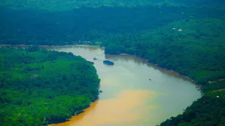
For years, India has relied on ground-based river gauges, which provide vital but limited data points. Flooding, however, is a widespread event that ground sensors cannot fully capture. NISAR changes this by providing systematic, high-resolution maps of inundated areas across the entire country. The satellite will scan nearly the entire planet every 12 days, allowing authorities to track the progression of floodwaters with incredible accuracy. By detecting centimeter-level changes in water levels even in vegetated areas, it can act as a virtual network of stream gauges. This near-real-time information is invaluable for disaster response teams, enabling them to pinpoint affected villages, plan evacuation routes, and deliver aid more effectively, ultimately saving lives and property.
Beyond Floods: A Lifeline for Resources
While flood mapping is a critical application, NISAR's capabilities extend far beyond disaster response. The data it collects will revolutionize how India manages its water resources on multiple fronts. For agriculture, which employs a significant portion of the population, NISAR's ability to produce high-resolution soil moisture maps will empower better irrigation planning and drought risk assessment. It will also help monitor the health of vital ecosystems like wetlands and mangroves, track the alarming rate of glacier melt in the Himalayas, and even detect land subsidence caused by groundwater depletion. By measuring tiny changes in the ground surface, scientists can infer what is happening in underground aquifers, providing a crucial tool for sustainable water use.
A Partnership for a Water-Secure Future
The NISAR mission is more than just a technological marvel; it's a testament to the power of international collaboration in tackling global challenges. The partnership between NASA and ISRO brings together the best of both agencies' expertise to create a tool for the benefit of all. ISRO identified several key applications for India, including monitoring agriculture, Himalayan glaciers, and coastal processes, which were integrated into the mission's design. The data from NISAR will be free and openly available, allowing researchers, policymakers, and planners across India to harness its power. This will drive innovation in water management, agricultural practices, and climate change adaptation for years to come.