








A New Perch in the Heavens
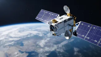
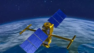
The Indian Space Research Organisation (ISRO) is set to launch its EOS-05 satellite, marking a significant breakthrough by placing an advanced imaging satellite into a geosynchronous orbit (GEO). Unlike most Earth observation satellites that circle the
planet in Low Earth Orbit (LEO) and revisit a location only periodically, EOS-05 will be positioned approximately 36,000 kilometres above the Earth. At this altitude, the satellite's orbital speed matches the Earth's rotation, allowing it to seemingly 'hover' over the Indian subcontinent. This geostationary position is the core of the breakthrough; it transforms surveillance from a series of snapshots into a continuous, real-time video feed of a vast geographical area. This mission, launching aboard the GSLV-F17 rocket, represents India's first successful deployment of an imaging satellite to this specific, powerful orbit, a feat attempted previously with EOS-03 which was lost due to a launch anomaly in 2021.
An Unblinking Eye on the Weather
For a nation frequently buffeted by cyclones, monsoons, and other extreme weather events, this new capability is a game-changer for disaster management. Current weather satellites provide crucial data, but the constant watch offered by a geostationary imager offers something more: the ability to track the rapid development and movement of weather systems without interruption. The EOS-05, with its multispectral imagers, can provide updated imagery of the Indian region every five to ten minutes. This allows meteorologists to monitor the formation of cyclones, the progression of storm clouds, and other atmospheric phenomena in near real-time. This persistent monitoring is invaluable for issuing timely and accurate warnings to coastal and vulnerable communities, potentially saving countless lives and mitigating economic damage by giving authorities a crucial head start in their preparedness efforts.
Sharpening the Line of Defence
Beyond weather, the strategic implications for border monitoring are profound. The 'constant stare' capability of EOS-05 provides India's defence forces with an unprecedented tool for national security. While radar-imaging satellites like the RISAT series are crucial for all-weather, day-and-night surveillance, a geostationary imaging satellite offers a different but complementary advantage: persistence. It can maintain a constant vigil over sensitive border areas, strategic assets, and maritime zones. This allows for the detection of subtle or sudden changes, such as troop movements or new infrastructure, that might be missed by satellites that pass overhead only for brief periods. Intended for both civilian and military use, EOS-05 will act as a force multiplier, enhancing the intelligence-gathering capabilities of the armed forces and bolstering the nation's defensive posture along its complex and contested frontiers.
A Strategic Asset for a Rising Power
The successful deployment of EOS-05 is more than just a technical achievement; it is a statement of India's growing technological self-reliance and its ambitions as a major space power. It places India in a select group of nations capable of operating sophisticated imaging satellites from geostationary orbit. This mission, replacing the previously lost GISAT-1, also demonstrates ISRO's resilience and the reliability of its GSLV Mark II rocket. By providing a single, powerful platform for both critical civilian needs like weather forecasting and vital strategic needs like border security, the EOS-05 satellite represents a significant return on investment. It underscores a broader national strategy to leverage space technology for socio-economic development and to secure India's interests on Earth. The data from this eye in the sky will inform policy, drive economic activity, and safeguard the nation for years to come.