







A Tale of Two Powerful Systems
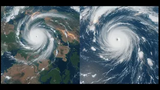
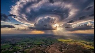
In the first week of July 2026, India found itself caught between two massive, moisture-laden weather systems. One, a sprawling convective cloud system, churned over the Arabian Sea, lashing the western coast, particularly Maharashtra and the Konkan region,
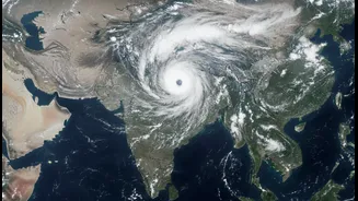
with relentless rain. Simultaneously, another powerful system formed over the Bay of Bengal, unleashing torrential downpours on West Bengal, Odisha, and northeastern states. This twin assault, with both arms of the monsoon firing at once, created a scenario ripe for widespread flooding and disruption. After a sluggish start to the season in June, these systems marked a dramatic and intense revival of monsoon activity across the subcontinent, bringing both relief from dry conditions and the threat of extreme weather events.
India's Eyes in the Sky
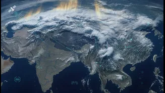
Monitoring these colossal weather events from the ground is a monumental challenge. This is where India's fleet of meteorological satellites, particularly the INSAT series, becomes indispensable. Satellites like INSAT-3DR, operated by the Indian Space Research Organisation (ISRO), provide a constant stream of high-resolution images and data from their perch in geostationary orbit. These are not just simple cameras; they are equipped with advanced imagers and sounders that can see across multiple wavelengths, including visible, infrared, and water vapour channels. This allows the India Meteorological Department (IMD) to track cloud formation, measure the temperature of cloud tops—a key indicator of a storm's intensity—and monitor wind patterns and humidity levels over vast, inaccessible areas like the open ocean.
From Pixels to Precise Predictions
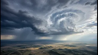
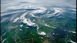
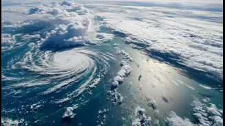
The vibrant, swirling images of clouds are just the beginning. The real power of satellites lies in turning that raw data into life-saving forecasts. The imagery from INSAT-3DR for the two recent systems was stark: the extremely cold and bright white cloud tops indicated deep convection and vigorous thunderstorm activity capable of producing extremely heavy rainfall. This data is fed into supercomputers running sophisticated numerical weather prediction models. By assimilating real-time satellite observations every 15 minutes, the IMD can dramatically improve the accuracy of its forecasts, predicting the trajectory, intensity, and potential rainfall of developing systems with far greater lead time. This capability has been shown to improve short-to-medium range forecasting by 20-30%, a critical margin when lives and livelihoods are at stake.
Averting Disaster, Managing Resources
The result of this technological prowess was a clear and timely warning. Based on the satellite tracking of these two systems, the IMD issued multiple red, orange, and yellow alerts for the affected regions, warning of heavy to extremely heavy rainfall. Fishermen along both coasts were advised not to venture into the rough seas. Disaster management teams were put on high alert in vulnerable districts, and residents in low-lying areas were cautioned. While the heavy rains did cause disruptions, landslides, and waterlogging in several areas, the advance warnings prevented a far greater catastrophe. This ability to foresee the monsoon's fury allows for better resource management, from evacuating coastal communities to preparing for urban flooding, demonstrating that satellites are now a fundamental part of India's climate resilience strategy.