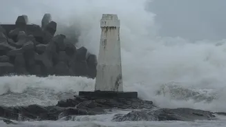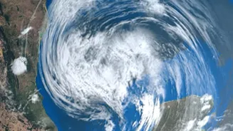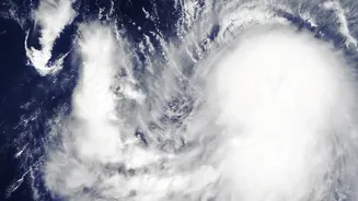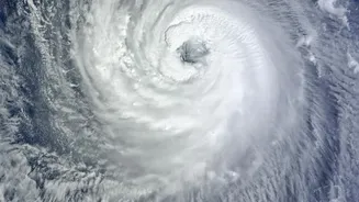





For millions along India’s vast coastline, the cyclone season is a familiar period of dread. But a new line of scientific inquiry is shifting focus from where a storm will land to a more alarming question: are they becoming much stronger?
A Shift in Scientific Focus
India has made
remarkable progress in predicting the path of cyclones, a system of early warnings that has saved countless lives. State governments, using forecasts from the India Meteorological Department (IMD), can now evacuate millions of people from vulnerable areas before a storm makes landfall. However, scientists are now tackling a different, equally critical challenge: understanding long-term trends in cyclone intensity. This research isn't about predicting the specific track of a future cyclone years in advance. Instead, it examines decades of data to determine if the storms forming in the Indian Ocean are, on average, becoming more powerful and destructive.
The Engine of Intensification
The primary fuel for a tropical cyclone is warm ocean water. For a storm to form, sea surface temperatures generally need to be at least 26.5°C. The Indian Ocean has been warming at a significant rate, with some studies noting a temperature rise of about 1°C since the 1950s. This excess heat doesn't just help cyclones form; it allows them to become stronger, faster. This phenomenon, known as 'rapid intensification', is when a cyclone's maximum sustained winds increase significantly in a short period, such as by 55 km/h within 24 hours. Warmer seas provide more moisture and energy, creating a feedback loop that can quickly transform a cyclonic storm into a very severe one, leaving less time for preparation and evacuation on the ground.
What the Data Reveals
Recent studies paint a concerning picture. While the overall number of cyclones forming might fluctuate or even decrease, the frequency of very intense storms is seen to be increasing. This trend is particularly noticeable in the Arabian Sea, which was historically calmer than the Bay of Bengal. Research indicates a significant increase—in some cases by 52% between 2001 and 2019—in the frequency of cyclonic storms in the Arabian Sea. The intensity of these storms has also risen, with some analyses showing a 20% to 40% increase in the Arabian Sea over recent decades. Storms are also lasting longer and retaining their energy for extended periods, contributing to more widespread damage.
Intensity vs. Landfall: Two Different Puzzles
It’s crucial to understand the difference between this long-term research and daily weather forecasting. Predicting a cyclone's exact landfall location is a short-term, operational task that relies on real-time data from satellites and radars to track an existing storm. These forecasts are highly accurate within a 24-to-72-hour window. In contrast, studying intensity trends is a climatic analysis. Scientists look at historical data over many years to identify patterns, much like seeing that winters are getting warmer on average without predicting the exact temperature on a specific day next year. So, while we know storms are getting stronger, this research does not tell us exactly where the next 'super cyclone' will make landfall.
Implications for a More Resilient India
The finding that cyclones are becoming more intense has profound implications for India's 7,500-kilometre coastline. If storms are likely to arrive with stronger winds and heavier rainfall, existing infrastructure—from cyclone shelters and coastal embankments to homes and power grids—may not be sufficient. Disaster management agencies may need to plan for worst_case scenarios, where a storm expected to be moderate rapidly intensifies just before hitting the coast. This makes the scientific work on intensity trends not just an academic exercise, but a vital tool for national preparedness, helping to ensure that India's acclaimed evacuation and disaster response systems can keep pace with a changing climate.