



The Eye in the Sky
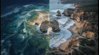
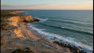
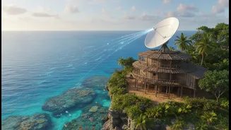
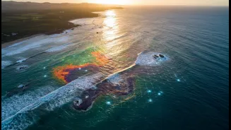
From space, satellites provide a powerful, large-scale perspective on our changing coastlines. These instruments can track dramatic events like cyclones and monitor gradual changes like erosion, sea-level rise, and the health of vital ecosystems such
as mangroves. By capturing images over months and years, scientists can build a detailed picture of coastal dynamics, identifying areas of high risk and measuring the impact of storms with a level of consistency that on-the-ground surveys alone would find difficult and costly to replicate. This technology, known as remote sensing, allows researchers to map vast, often inaccessible areas, providing quantitative data that is crucial for planning infrastructure, managing resources, and creating early warning systems for coastal hazards.
A Library of Lived Experience
Long before satellites, coastal communities possessed their own highly effective monitoring systems. Indigenous and local knowledge, passed down through generations, is a rich, dynamic library of information about the environment. This knowledge is not just a collection of stories; it includes a deep, nuanced understanding of local ecosystems. Coastal elders, for instance, can often predict weather changes by observing subtle shifts in the wind, water, and animal behaviour—details that satellite sensors cannot detect. They hold invaluable historical knowledge about past sea levels, forgotten river channels, and the locations of specific fish spawning grounds, information that is critical for understanding long-term environmental patterns and ensuring food security.
A Powerful, Imperfect Partnership
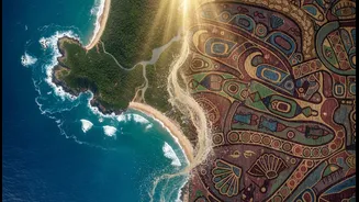
When these two knowledge systems work together, the results can be transformative. Satellite data can validate and provide a broader scale to the observations of local communities. For example, a community's report of declining fish catches can be correlated with satellite-derived data on rising sea surface temperatures. In a project on the Passamaquoddy Reservation in the US, students used NASA satellite images alongside elders' stories to measure shoreline erosion, bridging Western science with Indigenous knowledge. This integration provides a more complete picture, combining the 'what' and 'where' from satellite data with the 'why' and 'how' from local experience. This synergy helps create more effective and culturally relevant strategies for climate adaptation.
Context, Not a Cure-All
However, combining these two very different ways of knowing is not a simple plug-and-play solution. A key challenge is one of scale and type. Satellite data is often quantitative and covers large areas, while local knowledge is qualitative, deeply place-based, and rich in cultural context that data points cannot capture. There are also technical limitations; satellite imagery can have trouble with resolution, cloud cover, or detecting changes beneath a dense forest or water surface. More importantly, there are ethical considerations. The process must be a true partnership, not a one-way extraction of information where scientific bodies take Indigenous knowledge without equitable collaboration or respecting its cultural significance. Without mutual respect and joint decision-making, there is a risk of what some call 'data colonialism,' where local wisdom is simply fed into models without empowering the communities who are its custodians.