





The Orbiter’s Enduring Legacy
The Chandrayaan-2 mission, launched in July 2019, is a story of remarkable resilience. While the Vikram lander's hard landing captured headlines, the mission's orbiter has been a resounding success, silently circling the Moon and exceeding its planned
operational life. This orbiting observatory is equipped with eight scientific instruments, and it continues to provide a stream of valuable data, deepening our understanding of the Moon and showcasing ISRO's long-term mission planning. Far from being a partial failure, Chandrayaan-2 has evolved into a long-term lunar surveillance mission, with its greatest contributions perhaps still to come.
Peering Beneath the Dust
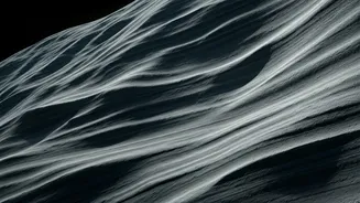
One of the orbiter's most powerful tools is the Dual-Frequency Synthetic Aperture Radar, or DFSAR. Unlike a regular camera that sees visible light, a SAR instrument acts like a form of radar, sending out microwave signals that penetrate the ground and bounce back. By analyzing these echoes, scientists can create a map of not just the surface, but also what lies beneath it. The 'dual-frequency' aspect is key; it uses both L-band and S-band radar. The L-band has a greater penetration depth, capable of peering down several meters into the lunar soil, known as regolith, which is significantly deeper than previous lunar radars. This allows ISRO to effectively create a subsurface, 3D view of the Moon's polar regions.
What the Data Has Uncovered
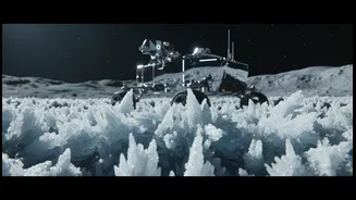
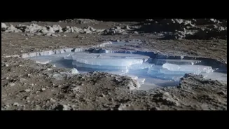
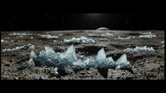
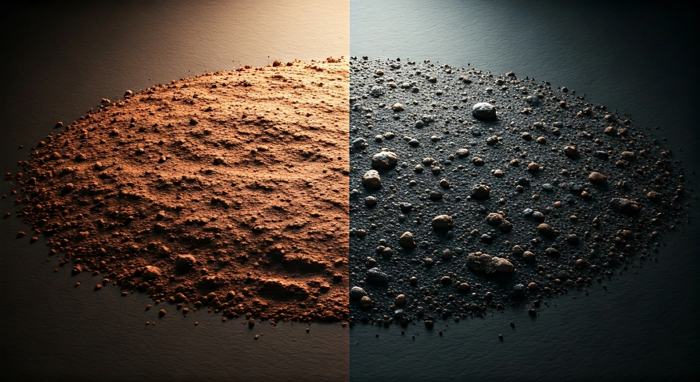
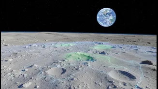
Recent analysis by scientists, including those from the Physical Research Laboratory (PRL) in Ahmedabad, has focused on some of the most intriguing and treacherous parts of the Moon: the permanently shadowed regions (PSRs) near the poles. These are craters and depressions where sunlight has never reached, creating some of the coldest temperatures in the solar system. Within these, there are even 'doubly shadowed craters' that are doubly shielded. The DFSAR data provides strong evidence that significant quantities of water ice may be trapped beneath the surface in these frigid regions. By using advanced polarimetric analysis, which looks at how the radar waves are altered as they bounce off different materials, scientists can distinguish the signature of ice from that of rough, rocky terrain. This provides a much more reliable map of where these vital resources might be located.
The Search for a Safe Harbour
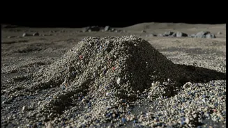
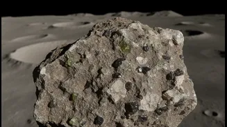
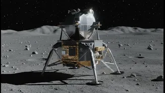
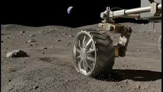
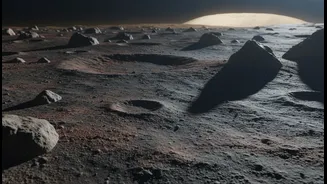
Finding water ice is one thing; landing a spacecraft safely to access it is another. The Moon's surface is littered with hazards, from large boulders to soft pockets of dust and unpredictable terrain. A lander's leg could be damaged by a hidden rock, or it could sink into loose regolith, toppling the craft. This is where DFSAR's data becomes critically important for mission planners. The radar can help estimate the thickness and density of the regolith, identify buried boulders, and map the overall surface roughness with high precision. This information, combined with high-resolution surface images from another instrument, the OHRC, allows for the creation of comprehensive hazard-free maps for potential landing zones. It’s the difference between landing with only a surface map versus landing with a detailed geological survey of the subsurface.
Paving the Way for Future Missions
The insights from Chandrayaan-2's DFSAR are not just academic. They have direct implications for the next wave of lunar exploration, including India’s own future missions and international collaborations like the Artemis program. Knowing where subsurface water ice is located is crucial for the concept of In-Situ Resource Utilisation (ISRU) — the idea of 'living off the land'. This water could be converted into drinking water, breathable oxygen, and even rocket fuel, dramatically reducing the cost and complexity of establishing a long-term human presence on the Moon. By providing this crucial data, India is not only charting a path for its own ambitions but also positioning itself as an indispensable partner in humanity's return to the Moon.