






A Constant Watch from 36,000 km Away
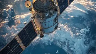
What makes EOS-05 so special is its new home: a geostationary orbit (GEO) approximately 36,000 kilometres above the Earth's equator. Unlike typical Earth observation satellites that circle the planet in lower orbits and pass over a location only periodically,
a satellite in GEO matches the Earth's rotation. This allows EOS-05 to remain seemingly fixed over the Indian subcontinent, providing continuous, near real-time imagery of a vast area. This persistent stare is a game-changer, turning the satellite into a dedicated sentinel that can watch events unfold without interruption.
Strengthening National Security
One of the most critical applications for EOS-05 is bolstering national security. Its ability to provide frequent, high-resolution images of border areas gives security forces a significant strategic advantage. From this high vantage point, the satellite can monitor movements and changes across India's land and maritime borders, keeping a close watch on neighbouring regions. While lower-orbit satellites provide more detailed images, they may take days to revisit the same spot. EOS-05 complements them by offering rapid, repeated observation of priority areas, with the ability to image a selected field every five minutes and the entire Indian landmass every 30 minutes. This capability is invaluable for monitoring strategic assets and detecting changes that require swift attention.
A Shield Against Natural Disasters
For a country frequently affected by cyclones, floods, and forest fires, EOS-05's monitoring capabilities are a crucial asset for disaster management. The satellite’s ability to provide near real-time imagery allows agencies to track the development and movement of cyclones as they form over the ocean. During floods or cloudbursts, it can help map the extent of the inundation, guiding rescue and relief efforts more effectively. The rapid revisit capability means that agencies can follow fast-changing events as they happen, a feature that could help save lives by enabling quicker and more informed responses to natural calamities across the country.
Monitoring Agriculture and Natural Resources
Beyond security and disasters, EOS-05 will play a vital role in managing India's precious natural resources. The satellite is equipped with multi-spectral and hyper-spectral imagers that can observe the Earth in various light bands, revealing details invisible to the naked eye. This technology can be used to monitor crop health on a large scale, assess drought conditions, and estimate agricultural output. It will also enable authorities to track changes in forest cover, monitor the health of water bodies, and manage coastal zones. This constant stream of data provides a comprehensive picture of the country's environmental health, supporting sustainable development and resource management.
The Technology Behind the Vision
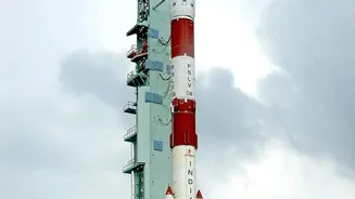
The EOS-05, also known as GISAT-1A, is a state-of-the-art spacecraft weighing around 2,367 kg. Its main instruments include a 700 mm telescope and advanced array detectors for visible, near-infrared, and short-wave infrared bands. One of its imagers boasts a spatial resolution of 42 metres, which is exceptionally high for a camera positioned in such a distant orbit. Following the unsuccessful launch of its predecessor, EOS-03, in 2021, the successful placement of EOS-05 into orbit by the GSLV-F17 rocket marks a significant achievement for ISRO, demonstrating the reliability of its launch systems and its advanced satellite-building capabilities.