


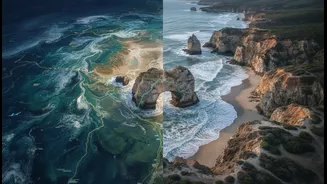



A View From Above
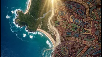
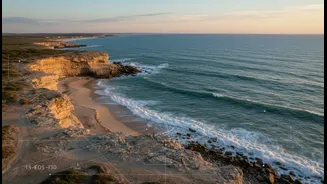
From hundreds of kilometres above Earth, satellites provide an unparalleled perspective on our changing planet. They create vast, detailed maps of coastlines, tracking how shorelines shrink or grow over years and even decades. For scientists studying
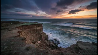
coastal erosion in places like Tamil Nadu or the Sundarbans, this technology is invaluable. By comparing images taken over time, researchers can precisely measure the rate of land loss, identify erosion hotspots, and model how rising sea levels and storm surges might impact the coast in the future. This bird's-eye view offers a quantitative, data-rich assessment of the physical changes, providing a crucial, large-scale baseline for understanding the problem.
Generations on the Shoreline
What satellites see in pixels and data points, coastal communities have witnessed with their own eyes for generations. Indigenous and traditional communities hold a different kind of data, one that is qualitative, historical, and deeply embedded in culture and memory. This 'lived knowledge' includes understanding subtle shifts in currents, knowing where ancient structures once stood before the sea claimed them, and recognizing changes in local flora and fauna that signal a coastline in distress. Elders' stories of how the shoreline looked in their youth can provide context that a 30-year satellite record cannot. This knowledge isn't just anecdotal; it's a multi-generational, place-based dataset that captures the rhythm and soul of the coast.
When Two Worlds Converge
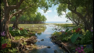
The most powerful research emerges when these two worlds converge. Imagine a satellite image showing a kilometre of beach that has vanished over 20 years. That's the 'what'. Now, add the knowledge of local fishing communities who can explain that the erosion accelerated after a new breakwater was built, or that a particular mangrove forest, once a natural sea defence, was cleared a decade ago. That's the 'why'. Projects are now beginning to integrate these knowledge systems. Scientists bring the satellite data to the community, and community members annotate the maps with their historical accounts and ecological observations. This creates a richer, more complete picture of coastal change, one where quantitative data is illuminated by qualitative understanding.
The Challenge of Data Sovereignty
This collaboration, however, is not without its ethical complexities. For centuries, researchers have entered Indigenous communities, extracted knowledge, published findings, and left, with little to no benefit returning to the community itself. This has led to a growing global movement for Indigenous Data Sovereignty—the right of Indigenous peoples to control data from and about their communities and lands. Who owns the satellite data once it is enriched with traditional knowledge? How is that knowledge protected from being patented or commercialized without consent? Who gets to tell the story that the data reveals? These are not just academic questions; they are matters of respect, equity, and the right to self-determination.
Building a Bridge of Trust
The path forward requires building a new kind of research relationship founded on trust and mutual respect. This means moving beyond simple consultation to genuine co-creation. Ethical frameworks, like the CARE Principles (Collective Benefit, Authority to Control, Responsibility, and Ethics), are becoming the gold standard. This involves establishing clear agreements before a project even begins, ensuring the community has authority over how its knowledge is used, shared, and credited. It means researchers must see themselves not as experts extracting data, but as partners in a process that benefits the community first and foremost. The goal is not just to produce better science, but to empower communities to use that science for their own advocacy, planning, and cultural preservation.