






A New Frontier in Climate Science
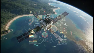
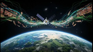
In a move that signals a major evolution in Earth science, NASA is increasingly integrating diverse sources of information into its climate models. Through initiatives like the Earth Information System (EIS), the agency is combining its formidable satellite
observations and modelling capabilities with other forms of knowledge. The goal is to move beyond raw data and create actionable information that can answer specific, local-scale questions like, "Will my area flood during the next big storm?" or "Will there be enough water for crops this season?". This approach is part of a broader strategy focused on equity and environmental justice, aiming to ensure that climate solutions are developed with and for the communities most affected by environmental changes. It's a recognition that to understand a complex system like Earth, you need more than just one set of tools.
What Are 'Diverse Knowledge Systems'?
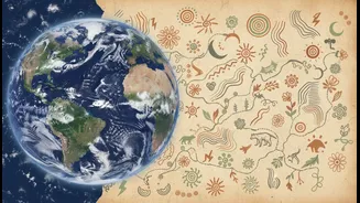
This term refers to a wide range of information sources beyond conventional, instrument-based science. The most prominent among these is Traditional Ecological Knowledge (TEK), or Indigenous Knowledge. This is the accumulated wisdom of Indigenous peoples, passed down through generations, about their local environment. It’s knowledge gained from centuries of direct observation and interaction with the land, seas, and ice. This includes understanding animal migration patterns, subtle shifts in weather, the properties of native plants, and sustainable land management practices. But diverse knowledge isn't limited to Indigenous communities. It also includes the local knowledge of farmers, fishers, and forest dwellers who possess an intimate, practical understanding of their immediate surroundings. The idea is to treat these systems not as quaint folklore, but as valid, time-tested datasets that can complement and enrich modern scientific analysis.
From Satellites to Storytelling
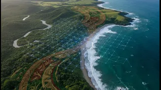
The power of this new approach lies in its synergy. A NASA satellite can precisely measure the rate at which an ice sheet is melting. But an Inuit elder can provide the historical context, explaining how today's melting compares to changes over a lifetime and sharing stories that describe the quality and behaviour of the ice in ways a sensor cannot capture. Similarly, satellite imagery can show large-scale drought patterns, but local farmers can offer crucial insights into soil conditions and which traditional crops are most resilient. NASA's Indigenous Peoples Initiative is actively building these bridges, developing remote sensing training and fostering the co-production of knowledge. By combining the 'what' of satellite data with the 'why' and 'how' of local and Indigenous knowledge, scientists can build a much richer, more holistic picture of what is happening to our planet. This was demonstrated in a project where students on the Passamaquoddy Reservation in the US combined NASA satellite images with tribal elders' stories to understand and measure coastal erosion in their community.
The Indian Context: Ancient Wisdom for Modern Problems
This global shift has profound relevance for India, a country with immense traditional knowledge. Imagine pairing NASA's hydrological data with the time-honoured wisdom of Rajasthan's 'johad' water conservation systems. Or using satellite data on crop health alongside the insights of Adivasi communities who practice resilient, multi-crop agriculture in challenging terrains. This approach validates ancient practices that have sustained communities for millennia. From the unique farming techniques in the Himalayas to the coastal communities' understanding of monsoons and sea-level changes, India possesses a deep well of ecological knowledge. Integrating this with advanced Earth observation data could lead to hyper-localised, effective, and culturally resonant climate adaptation strategies. It empowers local communities, making them active partners in finding solutions rather than passive recipients of top-down policies. This fusion of ancient wisdom and modern technology could be a game-changer for building climate resilience across the subcontinent.
Challenges and the Path Forward
Integrating these different ways of knowing is not without challenges. There are complexities in translating qualitative, narrative-based knowledge into quantitative models. It requires building trust and ensuring that Indigenous and local knowledge is treated with respect, and that communities are not just mined for data but are true partners in the process. NASA and other organizations are focused on the ethical co-creation of knowledge, ensuring that communities benefit from the collaboration. This involves creating open-source tools and accessible training to empower local groups to use Earth science data for their own needs. It represents a move away from a one-way flow of information to a more collaborative and equitable process of discovery. The journey is ongoing, but it represents a fundamental shift toward a more inclusive and effective science.