



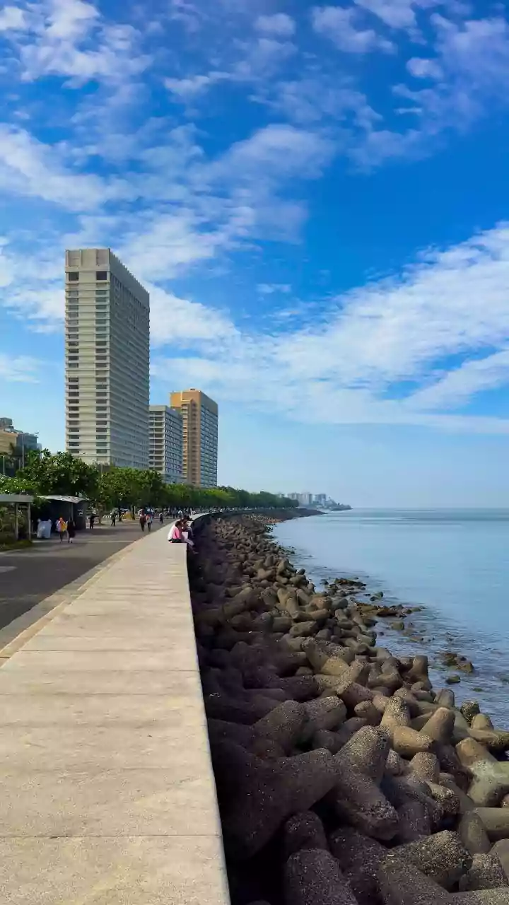





The Challenge of Coastal Roads
The coastal regions of states like Kerala, Tamil Nadu, and Andhra Pradesh are economic lifelines, but their road networks face a relentless enemy: weather. The annual monsoons bring intense rainfall, leading to waterlogging, erosion, and the infamous
potholes that plague commuters. This is especially true for the vast network of 'cheap' or low-cost roads, which are built to essential, not premium, standards. These routes are vital for connecting smaller towns and villages but are often the first to fail under environmental stress. For decades, the approach has been reactive: wait for the damage to occur, then dispatch repair crews in a never-ending cycle of costly, and often temporary, fixes. This model strains public works budgets and results in constant disruptions for citizens and commerce.
What Are 'Real-Time Cloud Maps'?
The term sounds futuristic, but the concept is a practical blend of existing technologies. Think of it not as a single product, but as a dynamic, intelligent system. These 'cloud maps' are digital platforms that integrate multiple layers of data in real time. The first layer is high-resolution satellite imagery, which can monitor the physical condition of road surfaces. The second is meteorological data, providing up-to-the-minute weather forecasts and rainfall intensity predictions. The third can include data from on-ground IoT (Internet of Things) sensors measuring water levels or traffic flow. All this information is uploaded to a cloud server, where powerful algorithms analyse it to create a live, comprehensive picture of the entire road network's health.
From Predictive Data to Action
This is where the system becomes a powerful tool for optimisation. Instead of waiting for a citizen to report a giant pothole, the system can flag it proactively. AI-powered image analysis can compare new satellite photos with older ones to detect surface degradation, cracks, or early-stage damage. More importantly, the system is predictive. By combining a road's known structural vulnerabilities with a forecast for heavy rain, it can predict which sections are at the highest risk of flooding or failure. This allows authorities to move from a 'break-fix' model to a 'predict-and-prevent' one. A maintenance team can be dispatched to clear a clogged drain or reinforce a vulnerable embankment *before* the storm hits, not after.
The True Meaning of 'Optimization'
In this context, 'optimization' is about doing more with less. For state Public Works Departments (PWDs) operating on tight budgets, this is a game-changer. It allows for the strategic allocation of resources. Instead of sending repair crews out blindly after a storm, they can be directed to the most critical locations identified by the system. This prioritisation ensures that major arteries are cleared first, minimising economic disruption. It also optimises the use of materials like asphalt and gravel, ensuring they are sent where they're needed most. Over the long term, this data-driven approach builds a historical record of road performance, helping engineers make smarter decisions about future construction materials and designs for these challenging coastal environments.
A Safer, More Resilient Future
For the average person, the benefits are tangible. This technology promises fewer delays due to unexpected road closures, a reduction in vehicle damage from potholes, and, most importantly, safer travel during periods of severe weather. By making maintenance more efficient and proactive, the lifespan of these low-cost roads can be extended, delivering better value for taxpayer money. It represents a significant shift in how we approach public infrastructure management, leveraging data to build resilience into the very roads that connect our communities and power our economy. The technology allows for a smarter response to the predictable-yet-disruptive patterns of our climate.