







The Planet's Powerful Climate Engine
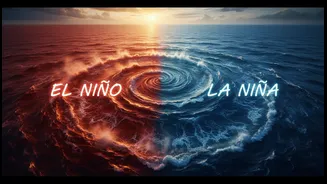
Before we get to El Niño or La Niña, we need to talk about their parent: the El Niño-Southern Oscillation, or ENSO. Think of it as a massive, natural climate engine in the tropical Pacific Ocean that switches between three modes: warm (El Niño), cool
(La Niña), and neutral. This cycle involves a complex dance between ocean surface temperatures and the winds blowing above them. While it originates thousands of kilometres away, the ENSO cycle is one of the most important drivers of weather patterns worldwide, affecting rainfall and temperatures from Africa to the Americas and, most critically for us, in Asia.
El Niño: The Warm Phase
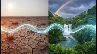
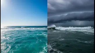
El Niño, which means "the boy child" in Spanish, happens when the surface water in the central and eastern Pacific Ocean becomes unusually warm. Normally, strong trade winds blow from east to west, pushing warm surface water towards Asia and Australia. During an El Niño, these winds weaken or even reverse. This allows the massive pool of warm water to slosh back eastward, toward South America. This shift disrupts atmospheric circulation patterns, causing major weather changes globally. For India, this disruption is often bad news. El Niño is strongly associated with a weaker monsoon circulation, which can lead to suppressed rainfall and drought-like conditions.
La Niña: The Cool Phase
La Niña, or "the girl child," is essentially the opposite of El Niño. During a La Niña event, the trade winds become even stronger than usual. They push more warm water toward Asia, causing cooler-than-average water to well up from the deep ocean off the coast of South America. This cooling of the eastern Pacific has its own set of global ripple effects. For India, La Niña is typically beneficial for the southwest monsoon. The atmospheric conditions it creates often lead to enhanced monsoon activity, resulting in normal or above-normal rainfall across large parts of the country.
The Critical Difference for India
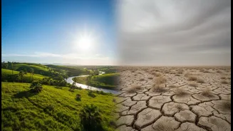
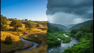
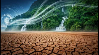
The primary difference lies in their impact on the Indian monsoon, the lifeblood of the country's agriculture and economy. Historically, El Niño years have a higher probability of bringing deficient rainfall and drought. Five of India's most severe droughts have been linked to El Niño events. This can lead to lower crop yields for staples like rice and pulses, strain water reservoirs, and drive up food prices. Conversely, La Niña is often associated with a bountiful monsoon. However, this isn't a perfect rule. The relationship is complex, and other factors like the Indian Ocean Dipole can also influence the monsoon's performance. Still, the starting point for any long-range monsoon forecast is the status of the ENSO cycle.
What's Happening in 2026?
Meteorological agencies are watching the Pacific closely. As of July 2026, forecasters have confirmed that El Niño conditions have developed and are expected to strengthen rapidly over the coming months. Several global models predict a strong event that will likely persist through the Northern Hemisphere's winter of 2026-27. Forecasts suggest that sea surface temperatures in key monitoring regions could become significantly warmer than average, potentially making this a historically strong El Niño. For India, this has raised concerns about the ongoing monsoon season, with an increased likelihood of below-normal rainfall, especially as the season progresses. This amplifies worries about heatwaves, water stress, and agricultural output.