



A Sharper, All-Weather View
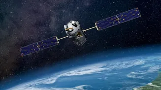
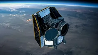
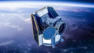
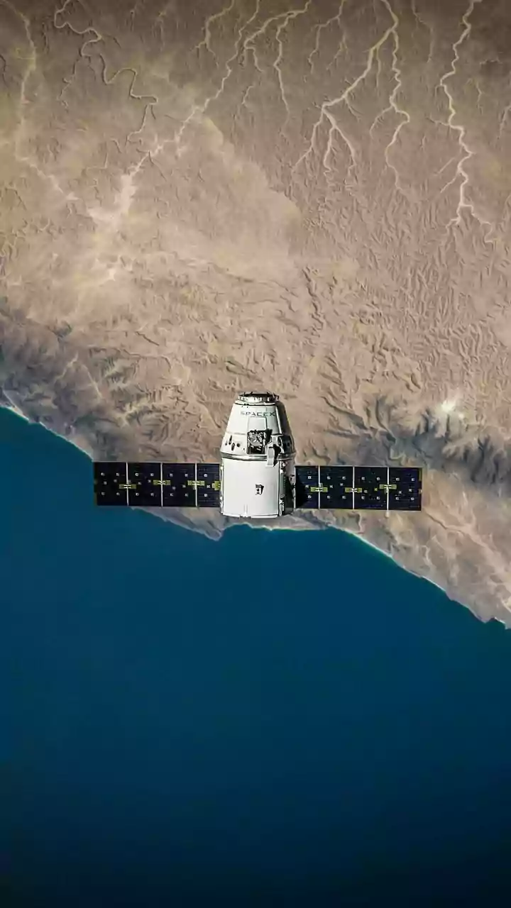
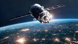
India's space programme, led by ISRO, has developed one of the world's largest constellations of remote sensing satellites. The latest additions, including the Earth Observation Satellite (EOS) and Radar Imaging Satellite (RISAT) series, represent a major
technological leap. Unlike older satellites, many of these new sentinels are equipped with Synthetic Aperture Radar (SAR), which can see through clouds and darkness, providing reliable imagery day and night, regardless of weather. This is crucial for a country that experiences a four-month monsoon season. Others, like Cartosat-3, offer incredibly high-resolution imaging, capable of spotting objects as small as 25 centimetres, providing an unprecedented level of detail for mapping and monitoring.
Revolutionising the Farm
For India's vast agricultural sector, these satellites are nothing short of revolutionary. They provide critical data on crop health, soil moisture levels, and vegetation stress before problems are visible on the ground. This allows for precision agriculture, where farmers can optimise the use of water, fertilisers, and pesticides, leading to higher yields and reduced costs. Government programmes use this data for nationwide crop forecasting, helping to estimate harvests, plan for food security, and manage the supply chain more effectively. For insurance companies, the imagery provides an objective way to assess crop damage after events like floods or droughts, streamlining claims for farmers.
A Frontline Defence Against Disasters
India is prone to a wide range of natural disasters, from cyclones and floods to landslides and forest fires. New satellites like EOS-05, placed in a geosynchronous orbit, act as a constant "eye in the sky," providing near real-time updates. They can track the formation and path of cyclones, map flood inundation areas in real-time, and detect forest fires as they start. This allows disaster management agencies to issue timely warnings, plan efficient evacuation routes, and direct rescue and relief operations with far greater accuracy. By assessing damage to roads, bridges, and infrastructure, satellites help guide response teams when ground communication is cut off.
Building and Securing a Modern India
The applications of these satellites extend deep into urban planning and national security. High-resolution imagery from the Cartosat series is invaluable for managing urban growth, monitoring infrastructure projects, and enforcing land use regulations. It can be used to map the expansion of cities, identify illegal construction, and manage water distribution networks. On the security front, these satellites enhance surveillance capabilities along India's extensive land borders and maritime zones. The all-weather, day-and-night imaging from RISAT satellites is particularly useful for monitoring strategic areas and detecting incursions, bolstering the nation's defence posture without being overtly aggressive.