


A Fragile World on the Frontline
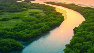
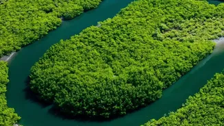
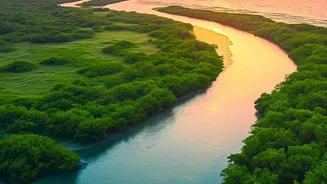
The Indian Sundarbans Delta is one of the most complex and dynamic landscapes on Earth. It's a place where the freshwater of the Hooghly river system meets the saltwater of the Bay of Bengal, creating a delicate brackish-water ecosystem. This unique environment
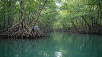
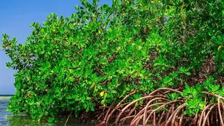
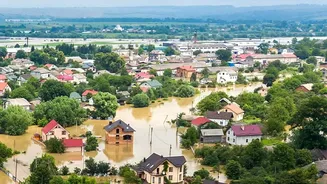
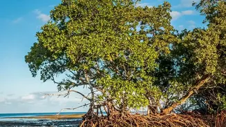
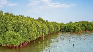
supports the largest single block of mangrove forest in the world, a UNESCO World Heritage Site teeming with biodiversity. But this fragile world is on the frontline of the climate crisis. The sea level in the Sundarbans is rising faster than the global average, and the frequency of powerful cyclones has increased. This leads to more frequent and severe inundation—flooding caused by both tidal surges from the sea and heavy discharge from the rivers. Understanding how, when, and where this water moves is critical for the survival of the 4.5 million people who live here and for the ecosystem itself.
Digital Sentinels in the Water
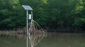
To get a clear picture of this complex hydrological system, researchers and government bodies are turning to technology. Instead of relying solely on satellite imagery, which can be obscured by clouds and only provides periodic snapshots, they are installing networks of in-situ sensors. These 'digital sentinels' are placed strategically throughout the intricate network of rivers and creeks. These are not just simple water-level gauges. Modern sensor networks often use IoT (Internet of Things) technology to provide a continuous, real-time stream of data on multiple parameters. This includes water level, flow velocity, salinity (salt content), turbidity (how cloudy the water is), and temperature. This high-frequency data allows for a much more detailed and dynamic understanding of the water's behaviour than ever before.
Decoding the River's Secrets
The data collected by these sensors is crucial for understanding what scientists call 'river-sea inundation dynamics'. It helps them see precisely how a storm surge from the sea interacts with a flooded river coming from upstream. For example, does the river's outflow push back against the tidal surge, or does the surge block the river, causing it to flood inland areas more severely? Studies show that tidal movements have a substantial impact on both the extent and depth of flooding in the region. By analysing the sensor data, researchers can model these complex interactions with unprecedented accuracy. This helps differentiate between regular tidal inundation, which is essential for the mangrove ecosystem's health, and destructive flooding events that threaten lives and livelihoods.
From Data to Life-Saving Action
The ultimate goal of this research isn't just academic. It has profound, real-world applications. The real-time data from sensor networks can be fed into early warning systems, giving communities valuable time to prepare for floods and evacuate if necessary. This is especially vital in a region where cyclones can be devastating. Furthermore, the long-term data helps in creating more accurate flood vulnerability maps, identifying which villages and areas are most at risk. This information is invaluable for policymakers and disaster management agencies. It guides decisions on where to build more resilient infrastructure, such as stronger embankments, and how to implement nature-based solutions like mangrove restoration projects, which act as natural barriers against storm surges.