





A Historic Launch for India
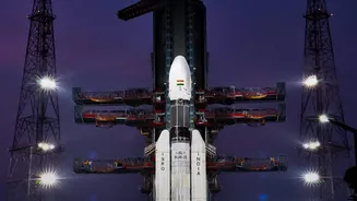
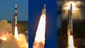
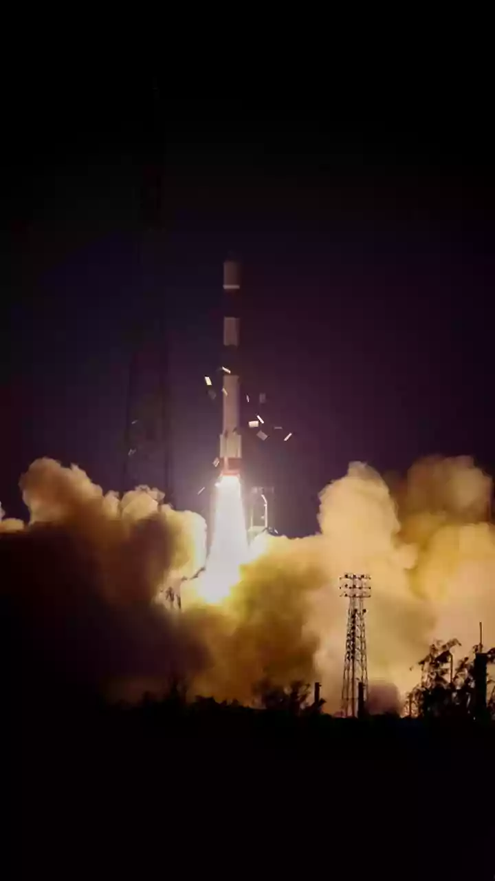
In the early hours of September 4, 2026, ISRO's powerful Geosynchronous Satellite Launch Vehicle (GSLV-F17) lifted off from the Satish Dhawan Space Centre in Sriharikota, carrying the EOS-05 satellite. The successful launch marked a significant milestone,
placing India's first-ever imaging satellite into a geosynchronous orbit. Weighing approximately 2,367 kilograms, the state-of-the-art satellite was precisely injected into its intended sub-geosynchronous transfer orbit about 18 minutes after liftoff. This achievement is particularly noteworthy as it comes after a previous attempt to place a similar satellite, EOS-03, into this orbit was unsuccessful in 2021, showcasing ISRO's resilience and technical prowess. With this mission, India joins a select group of nations with the capability to have a dedicated, continuous watch over a large geographical area from a fixed position in space.
The Geosynchronous Advantage
What makes EOS-05 a game-changer is its orbital position. Unlike most Earth observation satellites that circle the globe in a Low Earth Orbit (LEO) and pass over a specific location only at certain times, EOS-05 is in a geosynchronous orbit at an altitude of nearly 36,000 kilometres. At this height, the satellite's orbital speed matches the Earth's rotation. This effectively allows it to 'hover' over the Indian subcontinent, maintaining a constant and persistent watch. Instead of getting periodic snapshots, decision-makers will now have access to near-continuous monitoring of a vast region. This capability transforms the satellite from a periodic observer into a relentless sentinel, able to track rapidly developing situations in real time.
A Shield Against Natural Disasters
One of the most significant applications of EOS-05 is in disaster management. India is frequently exposed to natural calamities like cyclones, floods, and forest fires. The ability of EOS-05 to provide real-time imagery of the entire subcontinent will revolutionise how authorities respond. During a cyclone, for instance, the satellite can provide constant updates on its trajectory and intensity, enabling more accurate warnings and timely evacuations. In the case of floods, it can map the extent of inundation almost as it happens, helping relief teams identify the worst-affected areas and plan rescue operations more effectively. This shift from delayed data to immediate intelligence can dramatically reduce the loss of life and property, making communities safer and more resilient.
Boosting Agriculture and Urban Planning
Beyond disaster response, the data from EOS-05 is poised to drive economic and developmental progress. For India's vast agricultural sector, the satellite will provide crucial information on crop health, soil moisture, and pest infestations over large areas. This can help in forecasting yields, managing water resources efficiently, and providing farmers with actionable advice. In the context of urban development, the high-resolution imagery will be invaluable for city planners. It can be used to monitor urban sprawl, manage infrastructure projects, and assess environmental changes. By providing a detailed, ever-present overview of the nation's resources and land use, EOS-05 will empower smarter, more sustainable planning for the future.
Enhancing National Security
The satellite is also intended for both civilian and strategic applications. Its ability to maintain persistent surveillance over the Indian subcontinent and its adjoining regions has significant implications for national security. The satellite will provide strategic data, enabling the monitoring of remote border areas and maritime territories with unprecedented frequency. This constant vigilance enhances India's capacity to keep watch over its strategic assets and respond to security challenges more effectively. While many details of its strategic use remain confidential, the presence of a dedicated 'eye in the sky' strengthens the nation's overall security and monitoring infrastructure, providing an added layer of information for defence and intelligence agencies.