




The Power of Two Radars
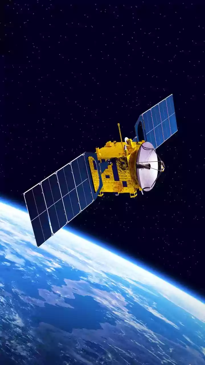
At the heart of the NISAR mission, a joint effort between NASA and ISRO, is its unique ability to see what other satellites cannot. It achieves this using two different types of radar, L-band and S-band, working in harmony. Think of it as having two sets
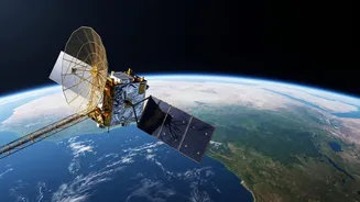
of eyes, each sensitive to different things. Synthetic Aperture Radar (SAR) technology allows NISAR to map the Earth day or night, regardless of cloud cover. It sends microwave pulses to the surface and analyses the signals that bounce back, creating incredibly detailed images of our world. NASA provided the L-band instrument, while ISRO developed the S-band radar, creating the first-ever dual-frequency radar satellite. This combination allows scientists to gather a richer, more comprehensive dataset than either radar could alone. The satellite orbits Earth every 12 days, systematically scanning nearly the entire planet.
Gauging the Thirst of the Land
One of NISAR's most critical tasks for a nation like India is measuring soil moisture. Water is a precious resource, and understanding its distribution is key for agriculture and drought management. The radar signals from NISAR can penetrate the top layer of soil, and the way the signal returns reveals how much water is present. ISRO's S-band radar is particularly adept at this, complementing the L-band's capabilities. The mission provides soil moisture data at a stunning 100 to 200-meter resolution, a level of detail previously unattainable on a global scale. This high-resolution information helps farmers with irrigation scheduling, predicts crop yields more accurately, and gives authorities an early warning system for droughts. By providing two observations every 12 days, NISAR offers near-real-time tracking of how soil moisture changes, empowering data-driven decisions for water security and sustainable farming.
Seeing the Forest for the Trees
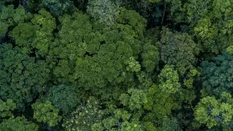
Beyond the soil, NISAR peers deep into the world's forests. Measuring forest canopy density is crucial for understanding climate change, as forests are vital carbon sinks. This is where NASA's L-band radar truly shines. Its longer wavelength can penetrate through leaves and branches, bouncing off tree trunks and the ground below. This creates a 3D picture of the forest structure. The returning signal allows researchers to estimate the amount of biomass—the total mass of trees and vegetation—in an area as small as a football field. By comparing images from its 12-day repeat cycle, scientists can track deforestation, forest degradation, and regrowth with incredible precision. The S-band radar contributes by providing details on the upper and mid-canopy. This combined view helps scientists distinguish between different types of forests, like wetlands and non-wetlands, which is vital for monitoring fragile ecosystems.
A New Era of Earth Observation
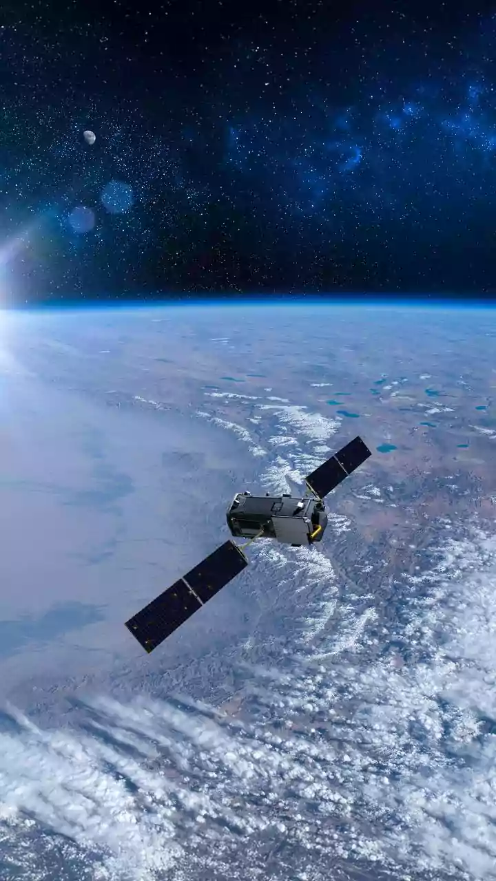
The data flowing from the NISAR satellite, which became fully operational in early 2026, is already transforming our understanding of the planet. The mission was launched in mid-2025 and, following its commissioning phase, began delivering science-quality images. All data from both the L-band and S-band radars is made freely and openly available to the public, a core principle of the NASA-ISRO partnership. This allows researchers, governments, and organisations worldwide to use the information for a vast range of applications. Beyond agriculture and forestry, NISAR's data helps in managing natural hazards by detecting tiny changes in the Earth's surface that can signal earthquakes, volcanic eruptions, or landslides. It also tracks the melting of glaciers and ice sheets, providing critical input for climate change models. For India and the world, NISAR represents a powerful new tool for navigating environmental challenges and securing a sustainable future.