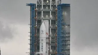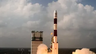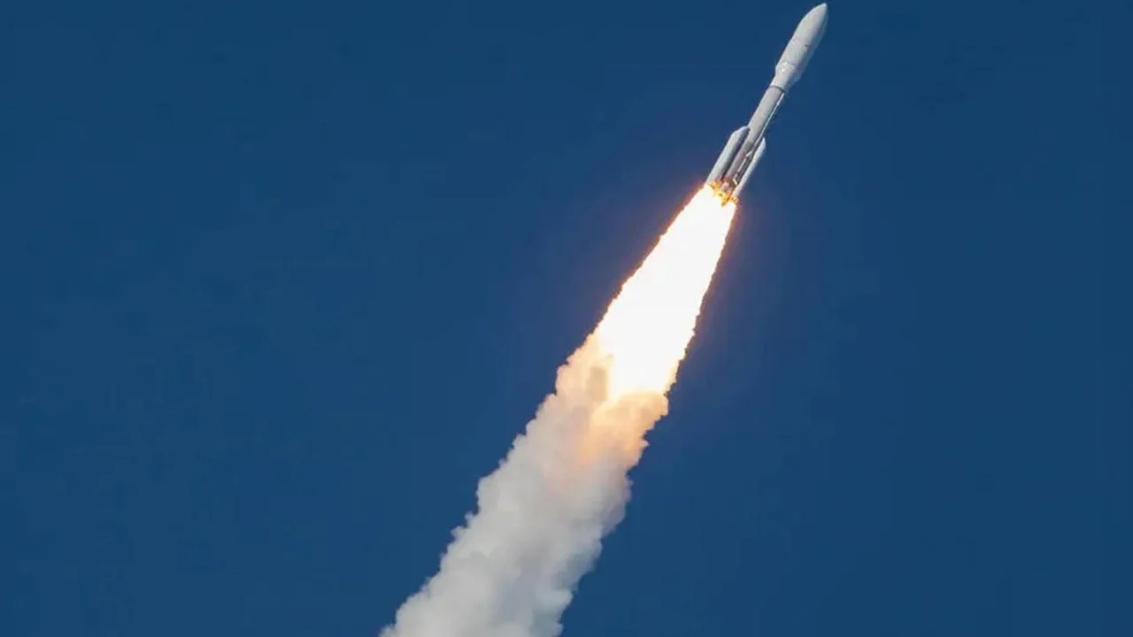




A New Space Race, Driven by Private Players
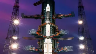
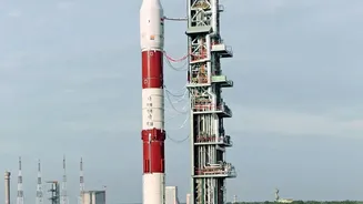
For decades, an Indian career in space meant one thing: working for the Indian Space Research Organisation (ISRO). That has changed dramatically. Following landmark policy reforms in 2020, the government opened the sector to private companies, transforming
a state-led monopoly into a bustling ecosystem. The number of private space startups has skyrocketed from a handful in 2020 to over 450 by 2026. These companies are not just supporting ISRO; they are building their own launch vehicles, manufacturing satellites, and, most importantly, creating commercial products from the vast amounts of data collected from orbit. The establishment of IN-SPACe, a government body to authorise and facilitate private space activities, has been a key catalyst. This policy shift aims to grow India's share of the global space economy from around 2% to 10% in the next decade, with projections suggesting the domestic industry could be worth US$44 billion by 2033.
Beyond Rockets: What Exactly Is Space Data?
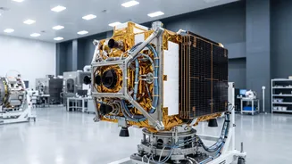
When we talk about space data, we are primarily referring to Earth Observation (EO) data. This includes everything from high-resolution satellite imagery to information about atmospheric conditions, soil moisture, and ocean temperatures. Satellites operated by ISRO and now a growing number of private firms like Pixxel and GalaxEye are constantly capturing this information. However, the raw data itself is not the final product. The real value—and where the jobs are emerging—lies in analysing and interpreting this data to provide actionable insights. This downstream segment of the space economy involves turning petabytes of satellite imagery into solutions for real-world problems on the ground. Think of it as the difference between owning a massive library and having a librarian who can find the exact information you need, when you need it.
From Smart Farming to Disaster Management
The applications of space data are vast and are already being integrated into India's economy. In agriculture, satellite data helps in monitoring crop health, planning irrigation, and even estimating crop yields for insurance schemes like PMFBY. For urban planning, it's used to monitor urban sprawl, manage smart city projects, and plan infrastructure like roads and utilities. During natural disasters such as floods or cyclones, satellite imagery provides critical information for early warnings and assessing damage, allowing for a more effective response. Companies now offer these insights as commercial services to governments and private clients, creating a business-to-business market for space-derived intelligence in sectors ranging from infrastructure and energy to environmental monitoring and national security.
The New Job Frontier: Roles in High Demand
The growth in space data has created a demand for a new class of professionals who can bridge the gap between space technology and terrestrial applications. While aerospace engineers are still vital, the fastest-growing roles are data-centric. These include Satellite Data Analysts, who interpret imagery; Remote Sensing Specialists, who use specialised software like GIS to analyse geospatial data; and AI/ML Engineers, who build algorithms to automate the analysis of massive datasets. There is also a need for Geospatial Data Scientists, who combine data science expertise with an understanding of earth observation to build predictive models. Beyond purely technical roles, the industry requires product managers who understand user needs, business development professionals to sell data-driven solutions, and domain experts in fields like agriculture or urban planning who can provide context to the data.
Building the Skills for This Final Frontier
To enter this burgeoning field, a specific blend of skills is required. Technical proficiency in programming languages like Python or R is fundamental, as is familiarity with data science libraries and machine learning frameworks like TensorFlow. Experience with Geographic Information System (GIS) software such as QGIS or ArcGIS is crucial for many roles. However, technical skills alone are not enough. A strong foundation in remote sensing principles and an understanding of how to work with different types of satellite data are essential. Increasingly, employers are looking for people who not only have the technical ability to process data but also the analytical and communication skills to translate complex findings into clear, valuable insights for clients and stakeholders.