







The Challenge of an Unpredictable Sky
Forecasting the Indian monsoon has historically been a monumental challenge. The phenomenon itself is incredibly complex, driven by vast oceanic and atmospheric interactions. For decades, the India Meteorological Department (IMD) relied on statistical
models. These methods involved tracking historical data and correlating climate parameters—like sea surface temperatures or Eurasian snow cover—with past monsoon performance to extrapolate a forecast. While pioneering for their time, these models had significant limitations. They struggled to predict major droughts and often missed the mark on rainfall deficits. Forecasters were essentially trying to understand a dynamic, three-dimensional system using limited, ground-based observations and historical patterns, which proved increasingly unreliable in a changing climate.
The Eye in the Sky Changes Everything
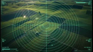
The game began to change with the launch of India's own satellite programme. The Indian Space Research Organisation (ISRO) developed the INSAT (Indian National Satellite System) series, which revolutionized weather monitoring. Today, dedicated meteorological satellites like INSAT-3D, INSAT-3DR, and Oceansat provide a constant stream of high-resolution data over the entire Indian subcontinent and surrounding oceans. These are not just cameras in the sky; they are sophisticated observatories equipped with imagers and sounders. The imager captures pictures of cloud cover, while the sounder measures vertical profiles of temperature and humidity in the atmosphere, offering a 3D view of evolving weather systems. This constant, wide-area surveillance provides data that ground stations alone could never capture.
From Raw Data to Reliable Forecasts
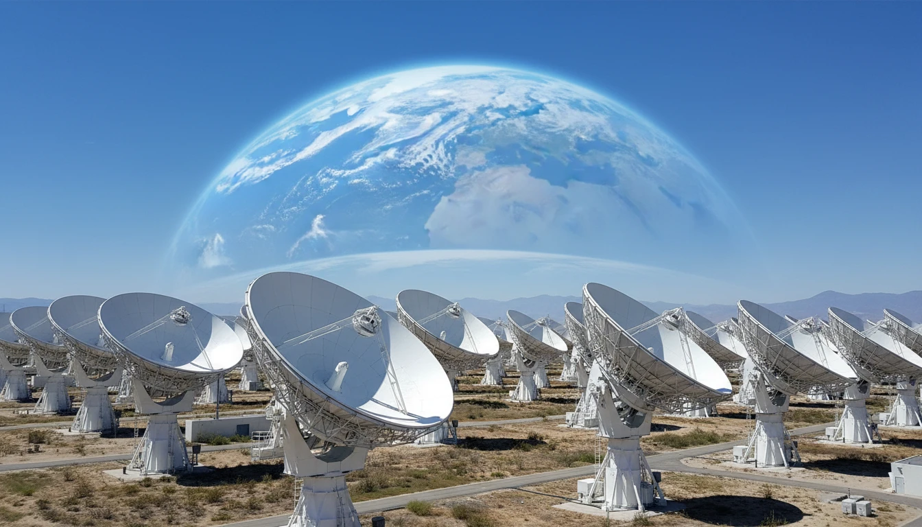
Having a satellite is one thing; turning its data into a useful forecast is another. This is where the synergy between ISRO and the IMD becomes critical. Satellites provide a torrent of raw data on key monsoon drivers: cloud motion, sea surface temperature, moisture levels, and wind patterns. This information is fed into powerful Numerical Weather Prediction (NWP) models. Unlike the old statistical methods, these are dynamic models that use the laws of physics to simulate the atmosphere's future state. In fact, satellite data now accounts for over 90% of the information assimilated into these models. This shift has dramatically improved the accuracy of forecasts, allowing the IMD to not only predict the monsoon's overall performance but also track the development of cyclones, depressions, and heavy rainfall events with far greater precision.
Real-World Impact for Farmers and Citizens
This technological leap has profound real-world consequences. For India's farmers, whose livelihoods are tied to the monsoon, more accurate long-range forecasts are transformative. Studies have shown that when farmers receive reliable information about the monsoon's onset, they can make better decisions about when to sow, what crops to plant, and how much to invest in fertilizers and labour. An earlier-than-expected monsoon might encourage planting high-value cash crops, while a delayed forecast might prompt a switch to more resilient subsistence crops. Beyond agriculture, improved forecasting enhances disaster preparedness. Timely and accurate warnings about severe weather events, enabled by continuous satellite monitoring, allow authorities to evacuate vulnerable populations and mitigate the loss of life and property from floods and cyclones.
The Future is Higher Resolution and AI
The evolution of monsoon forecasting is far from over. Future satellites promise even higher resolution imagery and more advanced sensors. The recent launch of INSAT-3DS in early 2024 is a testament to this ongoing improvement, designed to augment the capabilities of its predecessors. Furthermore, the integration of Artificial Intelligence (AI) is set to be the next major leap forward. AI models are showing incredible promise in sifting through vast datasets to identify complex patterns that traditional models might miss, potentially making forecasts even more accurate and localised. By combining cutting-edge satellite hardware with intelligent software, India is poised to develop an even deeper understanding of the weather systems that define its seasons and its fortunes.