

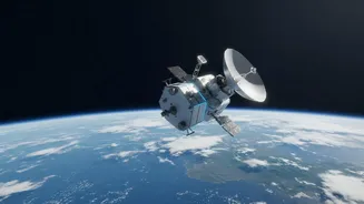
An All-Weather Eye for Agriculture
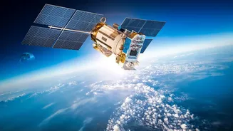
Unlike traditional optical satellites that are blinded by clouds or darkness, NISAR uses an advanced technology called Synthetic Aperture Radar (SAR). It actively sends microwave pulses to the Earth's surface and measures the signals that bounce back.
This allows it to 'see' through dense cloud cover, a crucial advantage for monitoring crops during India's vital monsoon season. The joint mission between NASA and the Indian Space Research Organisation (ISRO) is the first to use two different radar frequencies, L-band and S-band. This dual-frequency approach provides a richer, more detailed picture of the land, from the moisture deep within the soil to the physical structure of the crops themselves.
The Power of a 12-Day Revisit Cycle
While the headline suggests daily images, the reality is just as powerful. NISAR is designed to image nearly the entire planet twice every 12 days. This high-frequency observation cycle creates a dynamic, near-real-time view of how agricultural landscapes are changing. For scientists who previously relied on less frequent updates, this is a monumental leap. It allows for the consistent tracking of the entire crop lifecycle, from planting and growth to harvest. This steady stream of data, accessible through ISRO's Bhoonidhi portal, enables more accurate and timely analysis of agricultural trends across the country.
Smarter Water Management from Space
One of NISAR's most significant contributions is its ability to measure soil moisture with high precision. The radar signals are sensitive to the amount of water in the soil; wetter soils generally return a brighter signal. With a resolution capable of seeing details within a 100-meter square area, scientists can create detailed maps of soil moisture across vast regions. This information is invaluable for managing irrigation, helping farmers know when and how much to water their fields. By optimizing water use, it helps prevent crop stress from either drought or overwatering, a critical factor for improving yields and conserving precious water resources.
Tracking Crop Health and Growth
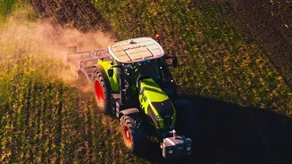
Beyond just water, NISAR's data helps scientists assess the overall health and development of crops. The radar can discern the physical characteristics of plants, such as their height and density. By comparing images over its 12-day cycle, analysts can track how fast crops are growing. An unhealthy or stressed crop will show different radar characteristics compared to a healthy one. This allows for the early detection of potential problems, such as pest infestations or disease outbreaks, enabling farmers and agricultural authorities to take corrective action before significant damage occurs. It can even help distinguish between different crop types across large areas.
Securing India's Food Supply
The insights gathered from individual farms and regions scale up to have a massive national impact. Accurate, large-scale crop monitoring allows for better yield forecasting. By understanding how well crops are performing across the country, government agencies can make more informed decisions about managing food stocks, regulating prices, and planning for imports or exports. This data-driven approach strengthens India's food security. Programs like ISRO's FASAL (Forecasting Agricultural output using Space, Agro-meteorology and Land-based observations) are now supercharged by the high-quality, reliable data stream from NISAR, making national agricultural planning more robust than ever before.