


The View From Above
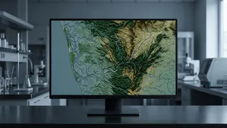
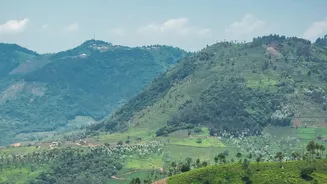
One of the most powerful tools in an ecologist's kit is the satellite. Using remote sensing and Geographic Information System (GIS) technology, scientists can get a big-picture view of environmental changes over time. For Kerala's forests, this means
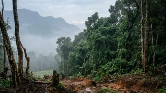
tracking deforestation, the spread of plantations, and the fragmentation of wildlife corridors in the Western Ghats. Along the coast, satellite data helps monitor shoreline erosion, the disappearance of mangrove forests, and the alarming spread of urbanisation into sensitive wetland areas. By comparing images from different years, ecologists can precisely map where and how quickly landscapes are transforming, providing crucial data for policymakers.
A Headcount of Nature
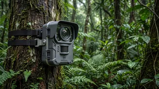
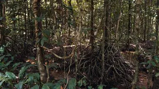
To understand what's happening on the ground, ecologists must get their boots muddy. They conduct biodiversity surveys to create a census of the plants and animals in a given area. In forests, this involves methods like laying out transects or permanent plots, where they count and identify every tree species within a defined boundary. This helps measure changes in forest composition and the health of endemic species found only in the Western Ghats. For animal life, techniques range from traditional point counts for birds to using camera traps and acoustic recorders to monitor more elusive wildlife. In coastal zones, similar surveys document the diversity of fish in the backwaters or the types of crabs and birds in mangrove habitats, providing a direct measure of ecosystem health.
Analysing Water and Soil
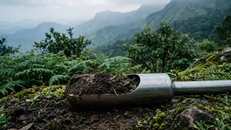
Much like a doctor taking a blood sample, ecologists test water and soil to diagnose an ecosystem's health. In Kerala's backwaters, this is critically important. Scientists collect water samples to test for pollutants like pesticides from paddy fields, heavy metals from industrial runoff, and excess nutrients from untreated sewage, which can lead to harmful algal blooms. They measure parameters like dissolved oxygen, salinity, and turbidity to understand the impacts of everything from sand mining to the explosion in houseboat tourism. In forest areas, soil analysis can reveal contamination or changes in nutrient cycles caused by deforestation or shifts in agricultural practices, providing chemical clues to the stress an ecosystem is under.
The Human Dimension
Understanding environmental impact isn't just about flora and fauna; it's also about people. Ecologists and social scientists often work together, conducting socio-economic surveys in local communities. They interview residents, fisherfolk, and farmers to understand how livelihoods depend on natural resources and how population pressure, economic changes, and development projects alter that relationship. This approach, famously championed by ecologists like Madhav Gadgil in his report on the Western Ghats, recognizes that humans are part of the ecosystem. By understanding community needs and practices, conservation strategies can be designed to be more effective and sustainable, balancing ecological protection with human well-being.
Putting It All Together
No single method tells the whole story. The true strength of ecological analysis lies in synthesis. Ecologists combine remote sensing data, biodiversity surveys, chemical analysis, and socio-economic information to build complex models. These integrated assessments, like Kerala’s recent project to create a 'Red List of Ecosystems', help identify which habitats are most at risk of collapse. By layering all this data, scientists can move beyond simply documenting a problem to understanding the interconnected drivers of change. This allows them to predict future trends, identify priority areas for conservation, and provide the scientific foundation needed for effective environmental management and policy.