
The Grand Vision for India's Rivers
India is home to a vast network of rivers, and the government is unlocking their potential for transport and commerce. The National Waterways Act of 2016 designated 111 rivers, creeks, and estuaries as National Waterways (NWs). The goal is to develop
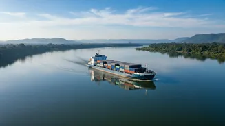
this extensive network, spanning over 20,000 kilometres, into a cost-effective and environmentally friendly alternative to road and rail transport. As of early 2026, 32 of these waterways are operational. The long-term vision is to significantly increase the share of inland water transport in India's total cargo movement from the current 2% to 5% by 2030, reducing logistics costs and easing pressure on congested land routes. A single large vessel can replace over a hundred trucks, showcasing the massive potential for efficiency.
Key Waterways Leading the Charge
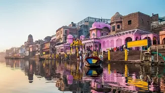
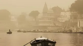
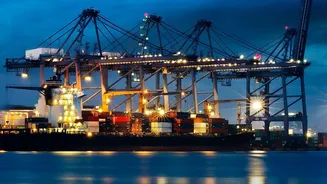
While the plan includes 111 waterways, development is focused on the most viable routes first. The flagship project is National Waterway 1 (NW-1), stretching 1,620 km along the Ganga-Bhagirathi-Hooghly river system from Prayagraj to Haldia. This crucial artery connects major cities and industrial hubs in Uttar Pradesh, Bihar, Jharkhand, and West Bengal. Similarly, National Waterway 2 (NW-2) on the Brahmaputra River provides vital connectivity for Assam and the Northeast. These waterways are being equipped with multimodal terminals at strategic locations like Varanasi, Sahibganj, and Haldia on NW-1, and Pandu on NW-2, allowing for the seamless transfer of goods between ships, trains, and trucks.
Your Guide to Finding Schedules
The key to using this growing network is reliable information. The Inland Waterways Authority of India (IWAI), the nodal agency for this project, is increasingly leveraging digital tools to provide transparency. While a single, unified passenger schedule like a bus timetable is still evolving, several portals offer crucial data for cargo and commercial operators. The CAR-D portal is a web-based system for compiling and disseminating cargo and cruise movement data. For technical navigation, the LADIS (Least Available Depth Information System) portal provides real-time data on river depths, crucial for vessel operators planning their journeys. The Jalyan & Navic portal acts as a central registry for vessels and crew. For specific passenger or tourist services, which are often run by private operators, it is best to check directly with the operators or at the terminals in cities like Varanasi, Kolkata, and Patna.
The Benefits for People and Businesses
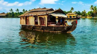
This expansion isn't just about large-scale industry. The development of waterways offers significant benefits for everyone. For businesses, it promises lower logistics costs, as water transport is significantly cheaper per tonne-kilometre than road or rail. This can make goods cheaper for consumers. For the public, Ro-Ro (Roll-on/Roll-off) ferry services in some areas already help transport vehicles across rivers, cutting down travel time. Furthermore, the growth of river cruises and tourism creates new economic opportunities and jobs for local communities. The entire initiative is also a major step towards greener transport, as barges have a much smaller carbon footprint compared to trucks.
Navigating the Challenges Ahead
Creating a nationwide water transport network is not without its challenges. Maintaining adequate water depth through dredging, especially in rivers with seasonal flows, is a constant effort. Ensuring last-mile connectivity from river terminals to industrial and population centres is another critical hurdle being addressed. There are also concerns about the ecological impact of increased traffic and dredging on river ecosystems, which require careful management. The government is actively promoting private investment and public-private partnerships to build infrastructure and expand the fleet of suitable vessels to overcome these obstacles and accelerate development.