






Decoding the Downpour
When the India Meteorological Department (IMD) issues a forecast, it’s not just about whether to carry an umbrella. The data offers specific, actionable intelligence. An IMD 'Yellow' alert is a sign to 'Be Updated,' while an 'Orange' alert means 'Be Prepared'
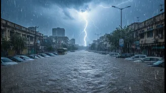
for heavy rain that could disrupt your day. A 'Red' alert is a directive to 'Take Action,' signalling extremely heavy rainfall (over 200mm in 24 hours) with a high probability of severe waterlogging and transport chaos. Recent data shows a worrying trend: Mumbai is experiencing more 'cloudburst-like' episodes, where a massive amount of rain falls in a very short period. For instance, in the first week of July 2026, the Santacruz observatory recorded over 1,000 mm of rain, exceeding the total for the entire month of July in the previous year. This intensity, more than the total volume, is what overwhelms the city's infrastructure.
The Commuter's Survival Guide
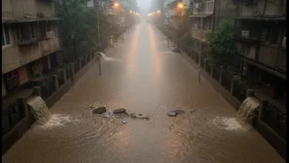
For the daily commuter, rainfall data is a lifeline. A forecast of 'heavy' to 'very heavy' rain is a direct predictor of trouble on the city's arterial routes. Studies show that travel time in Mumbai can increase by anywhere from 8% to a staggering 140% due to rainfall, with evening peak hours being the worst affected. Waterlogging at known choke points like Hindmata in Dadar, Milan Subway in Vile Parle, and the Dahisar subway can bring road traffic to a complete standstill. The local train network, the city's backbone, is equally vulnerable. A red alert often translates to suspended services on certain lines, leaving millions stranded. By monitoring real-time rainfall data through apps and official channels, commuters can make informed decisions: to work from home, start their journey earlier, or choose an alternative route, potentially saving hours of frustration.
A Renter's Reality Check
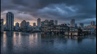
For those looking to rent or buy a home, monsoon data provides an invaluable, if harsh, reality check. Recurring floods directly impact property and rental values. Areas notorious for waterlogging often see a 10-20% dip in values compared to drier localities. The monsoon season effectively becomes a stress test for real estate, revealing issues like poor drainage, seepage in walls, and failing building infrastructure that might not be apparent at other times of the year. Prospective tenants and buyers are increasingly advised to visit properties during or after a heavy downpour to assess the building’s resilience. The dream home in a premium location can quickly turn into a nightmare if it's in a flood-prone zone, a fact that even luxury apartments are not immune to.
The Blueprint for Urban Planners
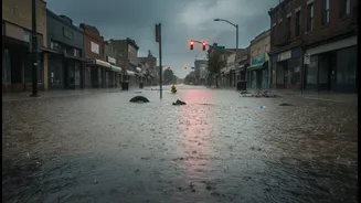
On a macro level, July's rainfall patterns are a critical diagnostic tool for urban planners. The increasing frequency of extreme rain events demonstrates that old benchmarks are no longer valid. Mumbai's century-old drainage system was originally designed to handle about 25 mm of rain per hour. The ambitious Brihanmumbai Stormwater Disposal System (BRIMSTOWAD) project, initiated after the 2005 floods, aims to increase this capacity to 50 mm per hour, but even this may be insufficient for the torrential downpours the city now faces. Furthermore, decades of unchecked urbanization have replaced natural absorption zones like mangroves and wetlands with concrete, exacerbating runoff and flooding. Historical and real-time rain data is therefore essential for planners to model flood risks, prioritize infrastructure upgrades, and protect the city's remaining natural sponges to build a more climate-resilient Mumbai.