


The View From Above
Every year, especially during the monsoon, vast swathes of India face the devastating impact of floods, while its Himalayan regions are prone to deadly landslides. Responding to these events requires timely and accurate information. This is where remote
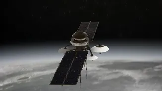
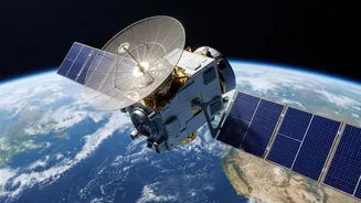
sensing—the science of obtaining information about areas from a distance—comes in. Satellites equipped with advanced sensors provide a synoptic view of the ground, collecting data that is crucial for disaster management agencies before, during, and after an event. The Indian Space Research Organisation (ISRO) plays a pivotal role, utilising its fleet of Earth Observation satellites like the Resourcesat, Cartosat, and RISAT series to monitor the subcontinent's dynamic landscape and weather patterns. This data feeds into various portals and warning systems, providing actionable intelligence to authorities on the ground.
Seeing Through Monsoon Clouds
One of the biggest challenges in monitoring monsoon-triggered floods is persistent cloud cover, which renders traditional optical satellites ineffective. This is where Synthetic Aperture Radar (SAR) technology is a game-changer. Unlike optical sensors that work like a camera, SAR is an active sensor that sends out its own microwave signals and reads the 'echo' that bounces back. These signals can penetrate clouds, haze, and darkness, providing an uninterrupted view of the Earth's surface. Calm, open water acts like a smooth mirror, reflecting the radar signal away from the satellite and appearing as dark patches in an image. In contrast, rough land scatters the signal back, appearing brighter. By comparing pre- and post-flood SAR images, scientists can rapidly and accurately map the extent of inundation, even in the midst of a storm.
Mapping Floods in Near Real-Time
During a flood, every hour counts. Satellite data provides emergency responders with a bird's-eye view of the affected areas, showing which villages are cut off, where infrastructure is damaged, and the safest routes for rescue operations. ISRO provides near real-time flood inundation maps to state and central agencies, often within hours of a satellite pass. For example, during the severe Kerala floods of 2018, real-time satellite data was instrumental in guiding rescue and relief efforts. These maps, disseminated through platforms like Bhuvan, help authorities not only in immediate response but also in post-disaster damage assessment, which is crucial for allocating resources and planning reconstruction.
Detecting Millimetre Movements to Predict Landslides
While floods can be mapped as they happen, the holy grail for landslide research is prediction. Here again, a specialised radar technique called Interferometric SAR (InSAR) offers remarkable capabilities. By comparing two SAR images of the same area taken at different times, InSAR can detect tiny, millimetre-scale changes in the ground surface. This allows scientists to identify slow-moving landslides or areas where the ground is deforming, which can be a precursor to a catastrophic failure. In a geologically fragile region like the Himalayas, this technology can be used to create risk maps, highlighting unstable slopes along critical roadways or near settlements. For instance, studies in Himachal's Kinnaur valley have effectively used InSAR to monitor ground deformation, showing its potential as an early warning tool.
Challenges and the Road Ahead
Despite its immense potential, satellite-based monitoring is not without its challenges. The sheer volume of data requires significant processing power and sophisticated algorithms to interpret correctly. Sometimes, things like dense vegetation or certain urban structures can interfere with radar signals, leading to potential misclassifications. Furthermore, turning raw satellite data into information that a first responder can use on the ground remains a critical gap that agencies are working to bridge. The future lies in integrating artificial intelligence (AI) to automate and speed up the analysis of satellite imagery, improving the accuracy of predictions. As satellite constellations grow, providing more frequent revisits over the same location, the ability to monitor and perhaps even forecast these devastating events will only get stronger.