


What is Earth Observation?
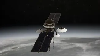
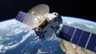
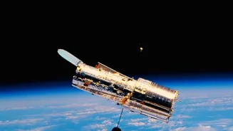
At its core, Earth Observation (EO) is the science of gathering information about our planet from a distance, primarily using satellites. These satellites are equipped with powerful sensors that can 'see' far more than the human eye. They collect data
across various wavelengths of light, including infrared and microwave, to monitor everything from weather patterns and ocean surfaces to land use and vegetation health. For disaster management, this technology is a game-changer. It provides a comprehensive, near real-time view of large, often inaccessible areas, which is essential when ground-based monitoring systems are washed away or overwhelmed.
India’s Eyes in the Sky: ISRO’s Sentinel Fleet
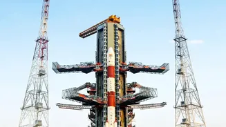
The Indian Space Research Organisation (ISRO) operates a sophisticated fleet of Earth Observation satellites that form the backbone of the country's disaster management programme. This includes the INSAT series (like INSAT-3DR and INSAT-3DS), which are crucial for meteorological observations, tracking cloud cover, and forecasting extreme rainfall. Then there are the cartography and resource-monitoring satellites like the Cartosat and Resourcesat series, which provide high-resolution imagery for detailed damage assessment. A key advantage of modern satellites is their ability to see through the thick cloud cover that blankets India during the monsoon. Satellites using Synthetic Aperture Radar (SAR), such as ISRO's RISAT series, can penetrate clouds and darkness, making them indispensable for tracking flood inundation day and night.
From Satellite Data to Actionable Maps
Raw satellite data is a stream of complex numbers and images. Turning this into something a disaster manager can use requires processing and analysis. This is where agencies like ISRO's National Remote Sensing Centre (NRSC) in Hyderabad come in. They process data from Indian and international satellites to create flood inundation maps. These maps clearly delineate which areas are flooded, partially submerged, or dry. By comparing pre- and post-disaster images, analysts can quickly assess the extent of the damage to infrastructure like roads, buildings, and crops. This information is then uploaded to geospatial platforms like Bhuvan, ISRO's web-based portal that provides easy access to maps and data for government agencies and the public.
Real-Time Tracking for Faster Response
During a flood, time is the most critical factor. Satellite data provides near real-time updates that are crucial for a swift response. For example, flood early warning systems combine satellite-based rainfall forecasts from the India Meteorological Department (IMD) with ground data to predict which areas will be flooded, sometimes up to 36 or 52 hours in advance. This gives authorities in vulnerable districts precious time to evacuate communities and position relief supplies. As floodwaters move through a river basin, satellites track the inundation in real-time. This information is passed to the National Disaster Management Authority (NDMA) and State Disaster Management Authorities, helping on-ground teams from the National Disaster Response Force (NDRF) prioritize rescue efforts in the worst-hit areas.
Beyond Floods: Landslides and Cyclones
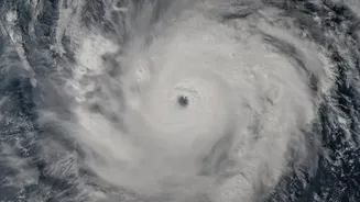
The monsoon's fury isn't limited to floods. The same Earth Observation technology is vital for monitoring other related hazards. For landslides, satellite data helps create hazard zonation maps that identify landslide-prone districts. Following a disaster, high-resolution imagery can pinpoint the location of the slide and assess the damage. For cyclones, meteorological satellites like the INSAT series are the first line of defence. They track a storm's formation, intensity, and path, providing the essential data for the IMD to issue accurate cyclone warnings. This allows for mass evacuations and preparedness measures that have saved countless lives along India's vast coastline.