





The Old Monsoon Rhythm
For generations, the Mumbai monsoon followed a somewhat predictable script. Around early June, moisture-laden winds from the southwest, warmed by the Arabian Sea, would sweep over the coast. They would bring the consistent, life-sustaining rains that
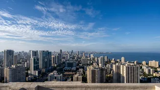
replenished the city’s seven crucial lakes and provided relief from the pre-monsoon heat. This cycle was the city's heartbeat, a period of regeneration essential for agriculture, water supply, and life itself. While heavy rains were always part of the package, they were generally spread over the four-month season, allowing the city and its residents to adapt to a familiar, if occasionally challenging, pace.
A New Story Told in Numbers
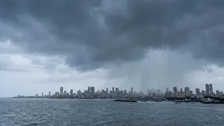
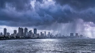
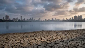
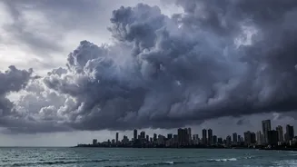
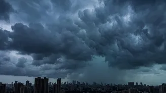
Recent rainfall data paints a very different, more chaotic picture. The monsoon is no longer a steady, drawn-out affair. Instead, it’s becoming a season of extremes: long dry spells punctuated by terrifyingly intense bursts of rain. The 2026 season is a perfect case study. It began with a severe deficit, leading to a water crisis in June with the city's reservoir levels plunging to historic lows. Yet, just weeks later, intense spells deluged the city, with some reports showing Mumbai receiving nearly a quarter of its entire seasonal rainfall in just a few days. This pattern, where a 'weak' monsoon overall can still produce devastating floods, is the new paradox. A study of data between 2001 and 2024 has already shown an average monsoon rainfall increase of nearly 15% compared to the previous two decades, signalling a clear shift towards more precipitation.
The Climate Change Accelerator
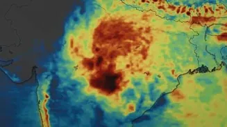
So, what's causing this dramatic shift? The primary driver, according to a growing consensus among climate scientists, is climate change. It works in two key ways. First, a warmer global atmosphere can hold more moisture. For every degree Celsius of warming, the air can hold about 7% more water vapour. This means that when it does rain, the downpours are heavier and more extreme. Second, the Arabian Sea is warming at a faster rate than other oceans. This warmer sea surface provides extra fuel and moisture to weather systems, supercharging them from regular monsoon depressions into explosive, record-breaking deluges. While phenomena like El Niño still influence the timing of the monsoon's arrival, scientists now believe the sheer intensity of the rain is being dictated by these broader climate change impacts.
The Concrete Trap: Why the City Floods
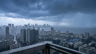
Extreme rainfall from the sky is only half the problem; the other half is on the ground. Mumbai is a 'concrete jungle' in the most literal sense. Decades of rapid urbanisation have seen open spaces, mangroves, and wetlands—natural sponges that would typically absorb rainwater—paved over for construction. When a massive volume of rain falls in a short period, it has nowhere to go. It cannot soak into the ground, so it flows over concrete and asphalt surfaces, quickly overwhelming an aging drainage system that was never designed for such intense, concentrated cloudbursts. This combination of more extreme rain and less permeable ground is the recipe for the flash floods that now paralyse the city with increasing regularity.
An Unpredictable Future
Forecasting the monsoon's behaviour has become a high-stakes game of competing global forces. Meteorologists closely watch the El Niño Southern Oscillation (ENSO) in the Pacific. A strong El Niño, like the one in 2026, typically suppresses monsoon rainfall in India. However, this can be counteracted by a 'positive' Indian Ocean Dipole (IOD), a phenomenon closer to home where the western Indian Ocean becomes warmer than the east, which can enhance monsoon rains. The interplay between these two massive climate drivers makes long-term prediction incredibly complex. What is certain, however, is that this volatility is the new normal. The future of Mumbai's monsoon is not one of gentle decline but of increasing unpredictability and intensity.