
The View from Above
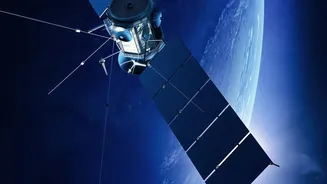
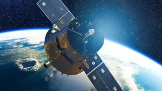
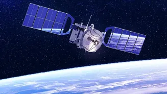
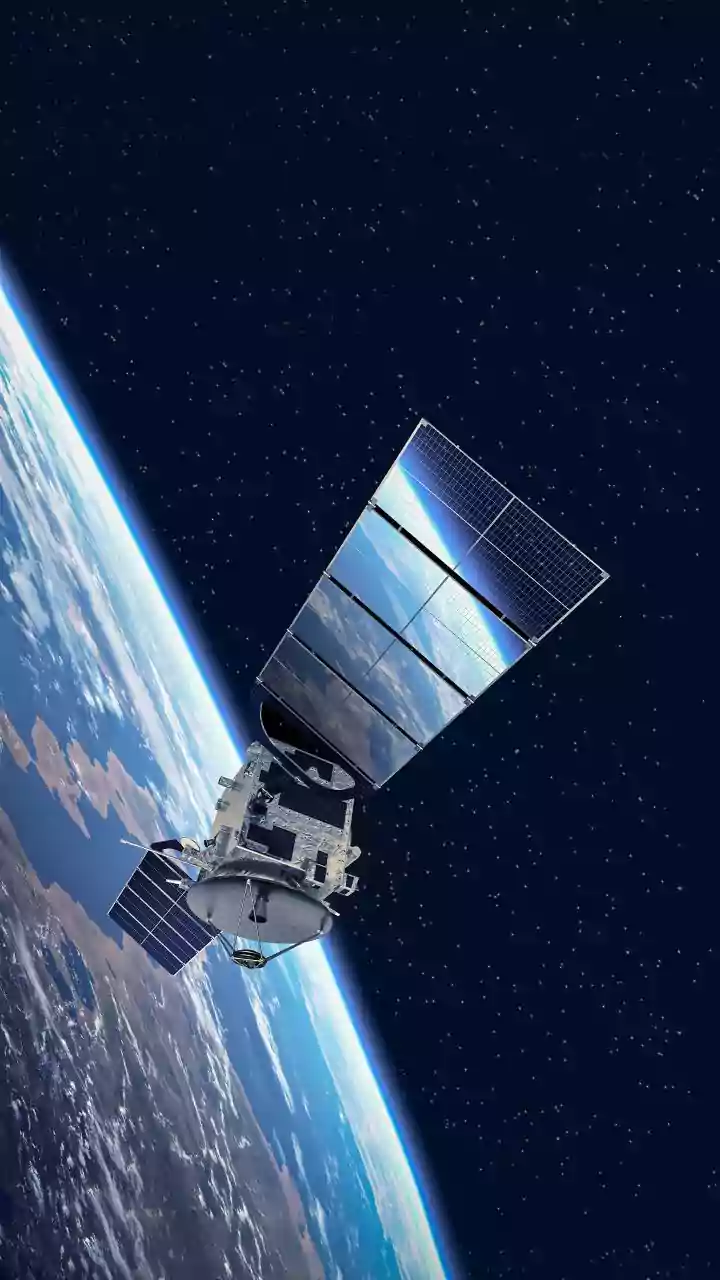
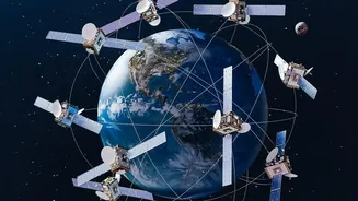
The simple answer is yes, satellite data is a game-changer for identifying flood-prone areas. Traditionally, assessing flood risk involved ground surveys and river gauges, which are time-consuming and offer limited spatial coverage. Satellites, however,
provide a wide-scale view, capturing data over entire river basins or coastlines in a single pass. This allows authorities to see the bigger picture, identifying not just where flooding is happening now, but also modelling which low-lying zones are most at risk before a disaster strikes. This remote sensing technology provides objective data that is crucial for everything from creating hazard maps to planning infrastructure and early warning systems.
The Power of Radar
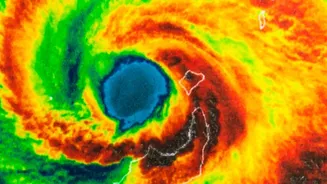
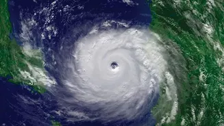
One of the most powerful tools for flood mapping is Synthetic Aperture Radar, or SAR. Unlike optical satellites that work like a camera and are often blocked by the very clouds that bring torrential rain, SAR is an active system. It sends down its own microwave pulses and reads the 'echo' that bounces back. Calm, open water reflects the signal away from the satellite, making it appear dark in the resulting image. Land, which is rougher, scatters the signal back, appearing brighter. This stark contrast allows SAR to cut through clouds, darkness, and bad weather to create clear maps of inundated areas, making it invaluable during an active cyclone or monsoon event.
From Raw Data to Actionable Maps
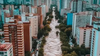
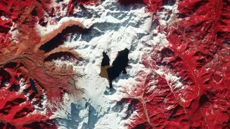
Getting an image from space is just the first step. The real magic happens when this data is processed. By comparing a 'before' image of a coastline with one taken 'during' or 'after' a storm, analysts can instantly spot the difference and map the extent of the flooding. Scientists and disaster management agencies use advanced algorithms and Artificial Intelligence (AI) to analyse this data. They combine satellite imagery with Digital Elevation Models (DEMs), which are high-resolution 3D maps of the terrain. This combination allows them to simulate how water will flow across the landscape, identifying which specific neighbourhoods, roads, and critical infrastructure are most likely to be submerged.
The Indian Scenario
For India, a nation with over 7,500 kilometres of coastline and a history of devastating floods in states like Kerala and Bihar, this technology is vital. The Indian Space Research Organisation (ISRO) plays a pivotal role. Its fleet of Earth observation satellites, including those in the Resourcesat, Cartosat, and RISAT (Radar Imaging Satellite) series, are used extensively for disaster management. Data from these satellites is sent to centres like the National Remote Sensing Centre (NRSC) in Hyderabad, where it's processed into near real-time inundation maps. These maps are then shared with national and state disaster authorities to coordinate rescue and relief efforts, as was done during the severe Kerala floods.
A Tool, Not a Silver Bullet
Despite its power, satellite data isn't a standalone solution. One challenge is the timing; a satellite might not pass over a flood peak at the exact right moment. Furthermore, dense vegetation can sometimes obscure the view of floodwaters underneath. That's why the most effective systems integrate satellite observations with on-the-ground data from weather stations and river gauges, as well as community-level knowledge. The goal is to fuse this wealth of information into a single, coherent picture that helps emergency managers make critical decisions—like where to deploy rescue teams or which roads to close. Ultimately, the technology is a tool to empower human decision-making and build more resilient communities.