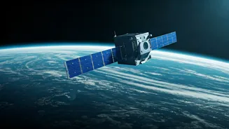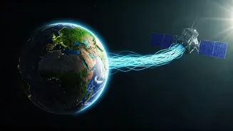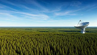


The Unblinking Eye in the Sky
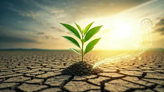
India's ambition for a sustainable future is immense, encompassing everything from increasing forest cover to transitioning to clean energy. Achieving these goals requires accurate, large-scale data, and that's where the Indian Space Research Organisation
(ISRO) comes in. For decades, India has been building one of the world's most advanced constellations of Earth Observation (EO) satellites. These satellites are our unblinking eyes in the sky, providing a constant stream of information that is impossible to gather from the ground alone. From the Cartosat series providing high-resolution maps to the INSAT satellites monitoring weather, this space-based infrastructure is the backbone of India's modern environmental strategy.
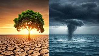
Guarding Forests and Water Resources
Protecting our natural ecosystems is fundamental to a green future. Satellites play a direct role here. Using data from its Resourcesat and Forest Survey of India programs, authorities can monitor the nation's forest cover with remarkable precision. They can detect deforestation, track the impact of forest fires, and even spot illegal mining or encroachment in protected areas in near real-time. Similarly, these orbital sentinels are crucial for water management. They gauge the water levels in thousands of reservoirs, track the flow of rivers, assess groundwater levels, and monitor the health of wetlands. For a water-stressed country like India, this data is not just useful—it's vital for planning and survival.
Smarter Farming for a Hungrier Nation
Agriculture is the lifeblood of India, but it's also highly vulnerable to climate change. Space technology is transforming the sector into 'smart agriculture'. Satellite imagery helps in forecasting crop yields, identifying crop stress due to pests or lack of water, and assessing soil health. This information allows for precision farming, where farmers can apply water and fertilisers exactly where they are needed, reducing waste and environmental runoff. Government schemes now use this data to settle crop insurance claims more quickly and fairly after extreme weather events, providing a critical safety net for millions of farmers.
Tracking Pollution from Orbit
Air and water pollution remain two of India's most stubborn environmental challenges. While ground-based sensors are essential, satellites offer a wider perspective. They can track the movement of pollutants like aerosol particles and nitrogen dioxide across entire cities and regions, helping scientists understand pollution sources and patterns. This is invaluable for creating effective policies to improve air quality. In the oceans and rivers, satellites can detect oil spills, monitor sediment runoff, and identify large algal blooms that can harm aquatic life, giving authorities a heads-up to intervene.
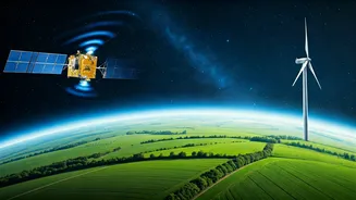
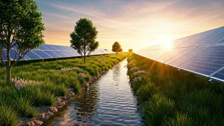
Powering the Renewable Energy Transition
India has set ambitious targets for solar and wind energy. But renewables have a challenge: they are intermittent. The sun doesn't always shine, and the wind doesn't always blow. This is where space tech becomes a quiet enabler. Accurate weather forecasting, powered by satellites like INSAT-3D, is critical for grid operators to predict how much renewable energy will be generated. This allows them to balance the power grid effectively, ensuring a stable supply of electricity. Furthermore, satellites can help identify the most promising locations for new solar and wind farms by providing long-term data on solar radiation and wind patterns.
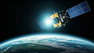
The Future: Deeper Insights with NISAR
The next leap is already on its way. The NASA-ISRO Synthetic Aperture Radar (NISAR) satellite, a landmark collaboration, is set to provide unprecedented detail on changes in the Earth's surface. It will be able to measure tiny changes in land elevation, which can help predict landslides and earthquakes. It will track the melting of glaciers, monitor changes in forest biomass, and assess soil moisture with incredible accuracy. NISAR will provide a hyper-detailed, all-weather view of our planet, giving scientists and policymakers the clearest picture yet of the impact of climate change and the effectiveness of our response.