



The Unblinking Eye in the Sky
High above our heads, a constellation of Indian Earth observation satellites keeps a constant watch. This fleet, including series like Resourcesat, Cartosat, and the INSAT systems, acts like a set of powerful eyes with special abilities. They don’t just
take pictures; they capture a wide spectrum of data. Some satellites, like those in the RISAT (Radar Imaging Satellite) series, use radar to see through thick clouds and darkness, a capability that is crucial during monsoons and cyclones. Others capture multi-spectral images that can reveal the health of vegetation or the moisture content in the soil. Together, they provide a continuous stream of information that, when analysed, gives us a comprehensive picture of our land, water, and atmosphere.
Mapping the Deluge in Real Time
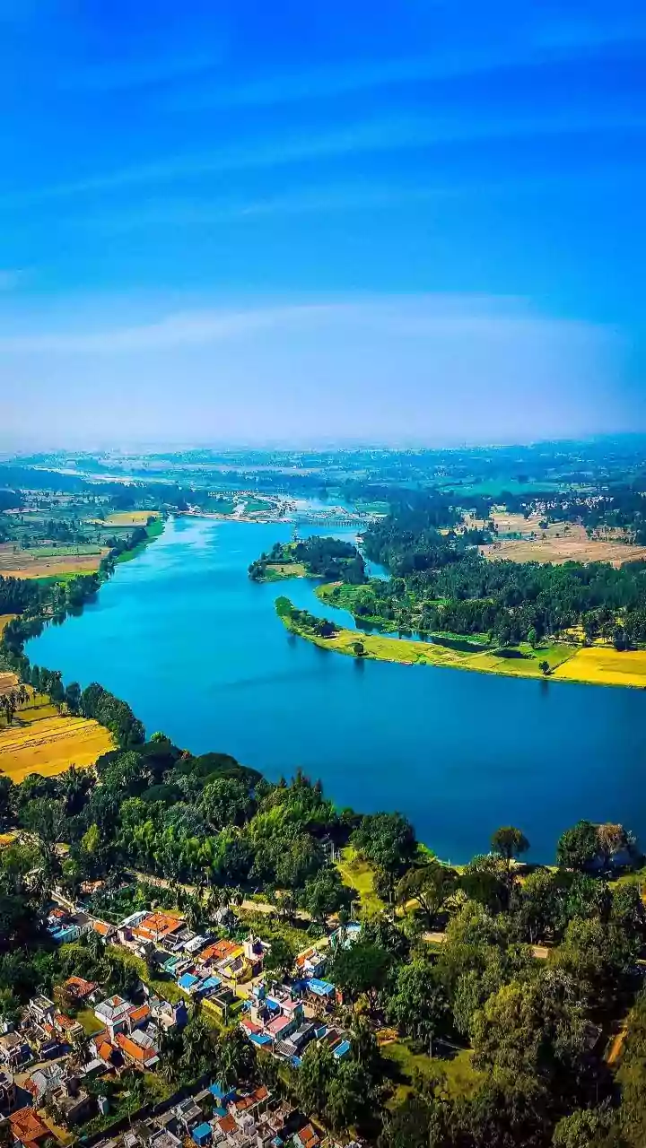
When floods strike, the first challenge is understanding the scale of the disaster. This is where satellites become indispensable. Radar satellites, in particular, can penetrate heavy cloud cover to map the extent of inundated areas with remarkable speed. This near real-time information is channelled through platforms like ISRO's Bhuvan geoportal and the National Disaster Management Support Programme. Emergency response teams on the ground can see which villages are cut off, which roads are submerged, and where to direct rescue efforts most effectively. This capability transforms disaster response from a reactive, often chaotic process into a data-driven, strategic operation, allowing aid to reach the most vulnerable people faster.
From Flood Response to Future-Proofing
Beyond immediate disaster response, satellite data plays a vital role in long-term flood management. By analysing years of flood data, scientists can create detailed flood hazard maps, identifying areas that are repeatedly affected. These maps are crucial for urban planners and policymakers. They inform decisions about where to build new infrastructure, how to strengthen embankments, and which communities need better early warning systems. This proactive approach, using historical satellite imagery combined with current observations, helps shift the focus from simply managing a crisis to building long-term resilience against future floods, which are expected to become more frequent and intense.
A Quiet Revolution on the Farm
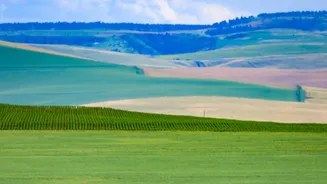
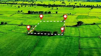
Perhaps one of the most significant impacts of India's space programme is on its agricultural sector. For decades, farming has been dependent on weather and guesswork. Today, satellite data is ushering in an era of precision agriculture. Flagship programmes like FASAL (Forecasting Agricultural output using Space, Agrometeorology and Land-based observations) use satellite imagery to provide pre-harvest production estimates for major crops like rice and wheat. Another programme, NADAMS (National Agricultural Drought Assessment and Monitoring System), provides early warnings about drought conditions by monitoring crop health and soil moisture levels from space, allowing for timely government intervention.
Data-Driven Decisions for Every Farmer
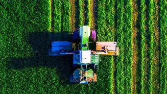
The benefits of this technology are increasingly reaching individual farmers. Through initiatives like Krishi-DSS, a decision support system, satellite data is translated into actionable advice. This includes guidance on optimal sowing times, efficient water use for irrigation, and precise application of fertilisers and pesticides. By analysing images, experts can detect pest attacks or nutrient deficiencies before they are visible to the naked eye. This information is often delivered directly to farmers, helping them reduce input costs, minimise environmental impact, and increase their yields. It represents a fundamental shift, empowering millions of small farmers with the kind of data that was once available only to large-scale agricultural operations.