




A Planet of Mismatched Pictures
Imagine trying to assemble a puzzle where the pieces come from different boxes. Some might fit, but the final picture would be a distorted mess. For decades, this was the challenge facing scientists using data from Earth-observing satellites. Dozens of
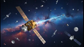
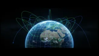
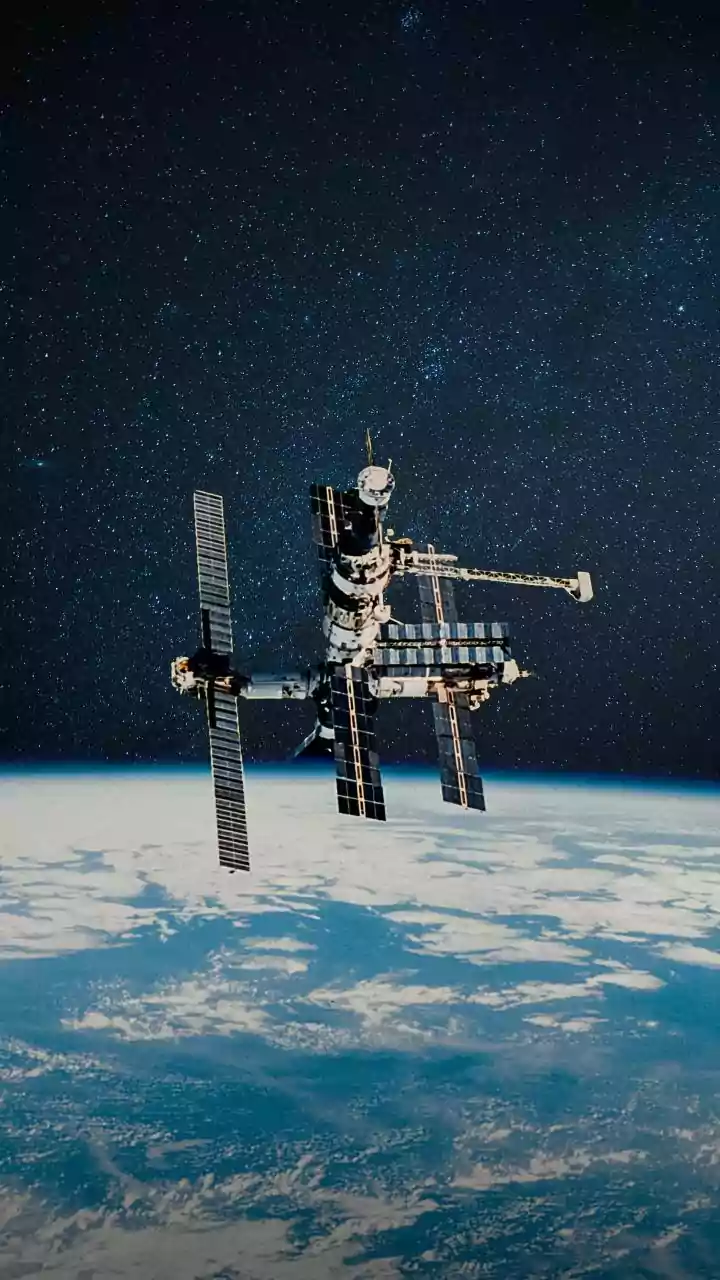
satellites, operated by various space agencies like NASA, the European Space Agency (ESA), and others, are constantly monitoring everything from polar ice thickness and sea levels to deforestation and urban sprawl. However, each satellite's sensors are designed and calibrated differently. This means that a measurement of sea surface temperature from one satellite might not perfectly match the same measurement from another, even if taken over the same spot at the same time. These subtle discrepancies can be caused by differences in sensor technology, orbital paths, or the complex algorithms used to process the raw data. Without a way to align these datasets, creating a single, reliable, long-term picture of global change becomes incredibly difficult.
The Harmonisation Effort
To solve this problem, international space agencies have championed a process known as cross-mission calibration and validation, or "cal/val". Think of it as creating a Rosetta Stone for satellite data. The core idea is to ensure that data is consistent and trustworthy, regardless of its source. This involves several techniques. One method is cross-calibration, where data from two or more satellites are compared when their orbits happen to cross over the same location at nearly the same time. Another approach involves using stable reference points on Earth, like specific deserts or even the Moon, whose reflective properties are well-known and unchanging. Satellites can be pointed at these targets to check and adjust their measurements, ensuring they align with established physical standards. One major initiative is the Harmonized Landsat Sentinel-2 (HLS) project, which combines data from NASA's Landsat satellites and ESA's Sentinel fleet to provide a more frequent and reliable view of the Earth's land surface.
Why Comparable Data Matters
The ability to reliably combine and compare satellite measurements is a game-changer for science and society. For climate scientists, it means creating more accurate and trustworthy long-term records of global warming, sea-level rise, and melting ice caps. Instead of having fragmented data from individual missions, they can build a continuous, multi-decade timeline of our planet's health. For disaster management, harmonised data allows for a faster and more comprehensive understanding of events like floods, wildfires, and earthquakes. By integrating information from multiple satellites, emergency responders can get a clearer picture of the affected areas and direct resources more effectively. This seamless data integration is crucial for building effective early warning systems and assessing damage post-event.
Benefits for a Growing World
The impact extends far beyond climate science and disaster response. In agriculture, farmers can use the more frequently updated and reliable maps to monitor crop health with greater precision, optimising irrigation and fertiliser use to improve yields. For urban planners in rapidly growing nations like India, this data helps monitor urban sprawl, manage resources like water, and plan infrastructure more sustainably. The Indian Space Research Organisation (ISRO) is an active participant in global data-sharing and collaboration efforts through bodies like the Committee on Earth Observation Satellites (CEOS). These partnerships ensure that data from Indian satellites can be integrated with global datasets, enhancing their utility for national projects. This improved data quality underpins better decision-making by governments on everything from sustainable development goals to land degradation.