





The Moment of Detection
It began as a faint, low-frequency rumble picked up by the sensitive instruments of Nepal’s National Earthquake Monitoring & Research Center. Within minutes, the energy pulse intensified, registering as a significant seismic event. In a country tragically
familiar with the destructive power of the earth, the immediate conclusion was a moderate earthquake originating deep within the mountainous terrain. Given that the Himalayan range is the product of the ongoing collision between the Indian and Eurasian tectonic plates, earthquakes are a fact of life. This initial reading, however, would soon prove to be a geological head-fake.
Reading the Seismic Fingerprint
Seismologists are trained to read the unique signatures of seismic waves. An earthquake caused by a fault rupture sends out two main types of body waves: fast-moving primary (P) waves and slower secondary (S) waves. The clear, sharp arrival of these waves is a classic sign of a tectonic event. But the data from this shock was different. The signal was noisy and lacked the distinct P- and S-wave phases. Instead of a sudden jolt, the seismograms showed a gradually building and sustained release of energy, dominated by slower-moving surface waves. These are waves that, like ripples on a pond, travel along the Earth’s surface. This signature pointed not to a rupture deep underground, but to something happening right at the surface.
The Real Culprit: A Massive Landslide
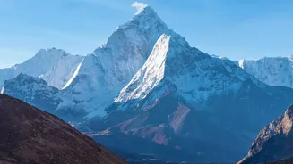
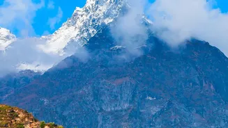
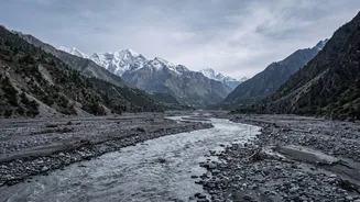
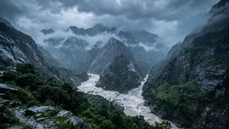
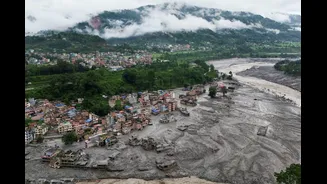
After cross-referencing the seismic data with satellite imagery and excluding other possibilities like a quarry blast, the truth emerged. The seismic shock was not caused by shifting tectonic plates, but by the catastrophic collapse of a mountain slope. In a remote, high-altitude valley, millions of tonnes of rock and glacial ice had suddenly given way, creating a massive landslide. This colossal volume of material, accelerating down the steep terrain, transferred an immense amount of kinetic energy into the ground. That energy radiated outward in the form of seismic waves, powerful enough to be detected by monitoring stations hundreds of kilometres away.
How a Landslide Mimics a Quake
It’s a matter of physics. The force of a massive landslide impacting a valley floor is comparable to a large explosion. The sliding, grinding, and eventual impact generates a complex and prolonged vibration that travels through the crust. Unlike the sharp, deep snap of a tectonic fault, a landslide's seismic signal is described as 'emergent'—it builds over tens of seconds or even minutes as the mass of debris moves and accelerates. Scientists can even use the unique frequencies in the signal to estimate the size and speed of the landslide, a field of study that is becoming increasingly critical.
Why This Distinction Is Critical
Differentiating between a tectonic earthquake and a landslide-induced seismic event is vital for disaster response. An earthquake alerts authorities to the risk of aftershocks and widespread structural damage. A massive landslide, however, presents a different set of immediate dangers. It can dam rivers, creating a temporary lake that could burst and cause catastrophic downstream flooding—an event known as a Glacial Lake Outburst Flood (GLOF). The debris can sever transport links and bury entire settlements. For the Himalayan region, where climate change is accelerating glacial melt and destabilising high-altitude slopes, the ability to rapidly identify landslides via seismographs offers a potential new tool for early warning systems.