






A New Generation of Eyes in the Sky
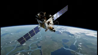
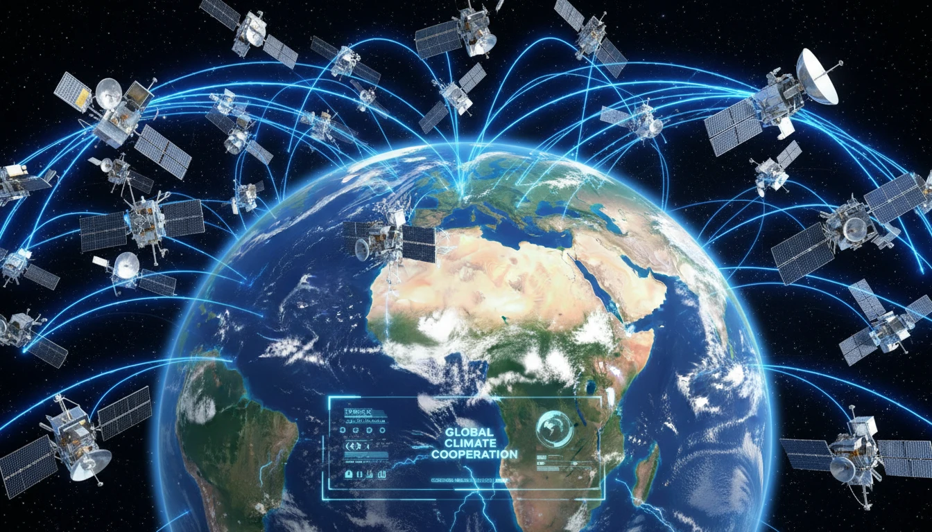
For decades, single, powerful satellites provided snapshots of Earth. Today, the approach is about persistence. Companies and space agencies are launching constellations—large groups of coordinated satellites—that work together to provide constant, near-real-time
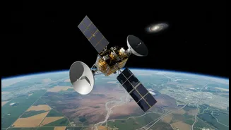
coverage of the entire globe. This shift from static images to a continuous video feed of our planet is a game-changer. These Earth Observation (EO) satellites are equipped with advanced sensors that can see beyond the visible spectrum, capturing data on everything from atmospheric gases to ground moisture. This evolution is also marked by a change in who is leading these efforts. In India, a consortium led by the private company Pixxel is developing the country's first privately-led national satellite system, a significant move from purely government-run space programs. This partnership signals a broader trend where the private sector is building critical infrastructure in space to serve both national interests and global commercial needs, from agriculture to environmental monitoring.
The Carbon Watchdogs
One of the most powerful new roles for these satellite constellations is acting as climate watchdogs. Specifically, they are becoming indispensable tools for tracking greenhouse gas emissions. Advanced satellites can now detect and measure pollutants like carbon dioxide and methane with incredible precision. Missions such as the European Space Agency’s Sentinel-5P can even trace emissions back to their source, whether it's a specific power plant, an industrial zone, or a leak in a gas pipeline. This capability transforms satellites from passive scientific instruments into active tools for accountability. By providing independent, verifiable data on emissions, this space-based infrastructure supports international agreements and allows nations to see if climate policies are having a measurable impact on the ground. It creates a new layer of transparency that is essential for effective climate action.
A Planetary Health Check
Beyond tracking emissions, satellite constellations perform a comprehensive health check on the entire planet. They provide crucial data on key climate indicators that are difficult or impossible to measure from the ground. Scientists use this data to monitor the speed at which glaciers are melting and to measure sea-level rise with millimetre-level accuracy. They can track deforestation in remote areas like the Amazon in near-real-time and monitor the health of vital ecosystems. A prime example of this is the NISAR mission, a joint project between NASA and the Indian Space Research Organisation (ISRO). Launched from India, this advanced radar satellite will map the entire planet every 12 days, providing unprecedented detail on changes in land use, groundwater levels, and natural hazards like landslides and volcanic activity. This data is not just for scientists; it’s designed to be freely available to help governments and communities plan for and respond to environmental threats.
From Data to Decisions
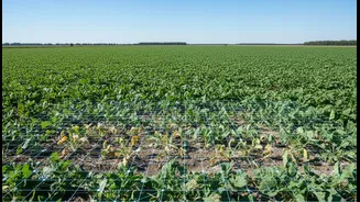
The true power of this new infrastructure lies in its application. Raw satellite data is increasingly being integrated with artificial intelligence and cloud computing to provide actionable insights for governments and industries. For India's agricultural sector, this means farmers can get precise information on soil moisture and crop health, helping to optimize irrigation and improve yields in the face of drought. In disaster management, satellite imagery provides early warnings for floods and cyclones, allowing authorities to evacuate vulnerable populations more effectively. Businesses are also leveraging this data for everything from ensuring their supply chains are not contributing to deforestation to making smarter investment decisions based on climate risk analysis. This is what makes it infrastructure: it is a foundational data layer that supports countless economic and safety-critical decisions on the ground.