





ISRO’s Sentinels Over the Sea
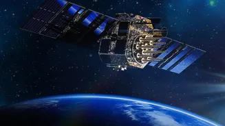
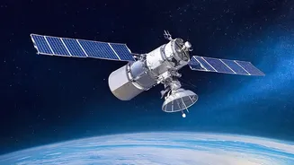
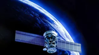
The Oceansat series is a dedicated fleet of Earth observation satellites developed by the Indian Space Research Organisation (ISRO) to monitor our oceans. Starting with Oceansat-1 in 1999, and followed by Oceansat-2 in 2009 and Oceansat-3 (also known
as EOS-06) in 2022, this program provides continuous data on various oceanic parameters. These satellites orbit the Earth in a sun-synchronous path, meaning they pass over the same part of the Earth at roughly the same local solar time each day. This consistency is vital for monitoring changes in the ocean environment, from biological activity to surface conditions.
Finding Fish From 700 Kilometres Up
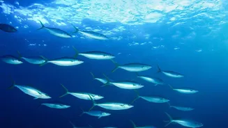
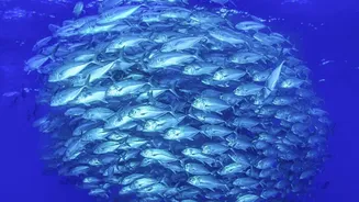
The satellites don't track fish directly. Instead, they look for ocean features that indicate where fish are likely to congregate. The key is identifying Potential Fishing Zones (PFZ). These zones are rich in phytoplankton, the microscopic marine algae that form the base of the marine food chain. Where there's an abundance of phytoplankton, smaller fish gather to feed, which in turn attracts larger, commercially valuable fish. The primary instrument for this task is the Ocean Colour Monitor (OCM). This advanced camera measures the colour of the ocean, detecting the concentration of chlorophyll, the pigment in phytoplankton. By combining this chlorophyll data with sea surface temperature measurements, scientists can create detailed maps pinpointing the most promising areas for a good catch.
From Satellite Data to a Fisherman's App
The raw data from ISRO’s satellites is just the beginning. It is sent to the Indian National Centre for Ocean Information Services (INCOIS) in Hyderabad. There, scientists process the information on chlorophyll and sea surface temperature to generate the PFZ advisories. These advisories, which include maps with latitude, longitude, and distance from the coast, are then disseminated to fishing communities. This information reaches fishermen through multiple channels: websites, Village Knowledge Centres run by NGOs, and increasingly, through mobile apps and dedicated devices like the Gagan Enabled Mariner’s Instrument for Navigation and Information (GEMINI). This system helps fishermen save significant time and fuel by eliminating the guesswork involved in locating fish shoals, directly boosting their profitability and reducing carbon emissions.
Tracking Cyclones and Weather Fronts
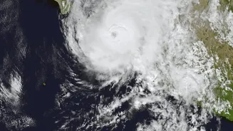
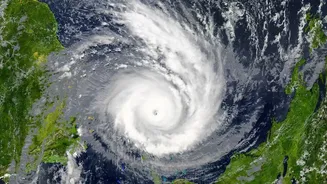
Beyond finding fish, the OceanSat series plays a critical role in weather forecasting and disaster management. This is primarily handled by an instrument called a Scatterometer (like OSCAT-3 on Oceansat-3). A scatterometer is a microwave radar that measures the roughness of the ocean surface. By analysing the backscattered signal, it can accurately determine wind speed and direction over the water. This data is indispensable for meteorologists. It allows them to detect the formation of cyclonic systems, track their path and intensity, and issue timely warnings. The wind vector data provided by the scatterometer is a crucial input for numerical weather prediction models, improving the accuracy of forecasts for everything from the onset of the monsoon to the movement of severe storms.
A Dual Benefit for the Nation
The dual capability of the OceanSat program showcases a remarkable efficiency in space technology application. The same platform that enhances the economic stability of coastal communities also serves as a vital tool for national safety. For a fisherman, knowing where to cast a net can be the difference between profit and loss. Studies have shown that using PFZ advisories leads to a significant reduction in fuel consumption and search time, with some fishing boats saving thousands of litres of diesel in a month. Simultaneously, the ability to get accurate, early warnings about approaching cyclones saves lives and allows for better preparedness along India's vast coastline. The data from these satellites empowers multiple agencies, from fisheries departments to disaster management authorities, making it a cornerstone of India’s maritime strategy.