







What Exactly is GRITSS?
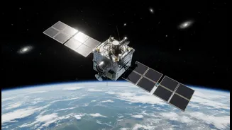
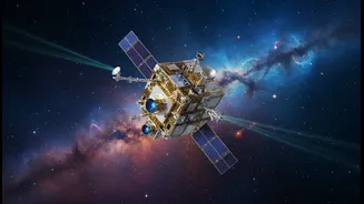
GRITSS, or the Geodetic Reference Instrument Transponder for Small Satellites, is a technology demonstration mission led by NASA. Launched aboard a suitcase-sized satellite called a CubeSat on July 7, 2026, its primary goal is not to be a new GPS, but
to be a 'master ruler' for all of Earth's positioning systems. Currently, different systems like GPS (satellite-based), VLBI (radio telescope-based), and SLR (laser-based) are used to create the global map, known as the International Terrestrial Reference Frame (ITRF). However, combining their data introduces tiny errors. GRITSS acts as a single reference point in space that all three systems can track simultaneously, helping to eliminate these errors and create a unified, ultra-precise global grid.
From Meters to Millimeters: A Leap in Precision
For most of us, the GPS on our phones is accurate to within a few meters, which is perfect for navigating city streets. Even India's own NavIC system provides exceptional regional accuracy. GRITSS, however, is playing a completely different game. By refining the ITRF, it aims to help scientists achieve a long-term goal: a global positioning frame accurate to 1 millimeter. This is not an incremental update; it's a fundamental shift in geodetic science. The mission involves complex technology, including an ultra-stable oscillator to maintain precise timing and the ability to upconvert GPS signals into frequencies that radio telescopes can read, creating a direct link between previously separate networks.
Impact on the Geospatial Sector
For geospatial professionals in India, a more accurate global reference frame is a game-changer. The geospatial industry in India is already a key enabler for economic growth, projected to be a massive market. Millimeter-level accuracy means surveyors can map land boundaries with unprecedented certainty, reducing disputes and supporting initiatives like the Digital India Land Records Modernisation Programme. In urban planning, this precision will support the development of 'digital twins'—dynamic, real-time virtual models of cities—allowing for better infrastructure management, from utility networks to traffic flow. It also enables hyper-precise construction, where automated machinery can grade land or place components with minimal human error.
Fueling India's Space Ambitions
A highly accurate terrestrial frame is the bedrock of space exploration and Earth observation. For organisations like ISRO, it means more precise tracking of satellites, enabling better orbit determination and more efficient station-keeping. This enhanced precision is crucial for Earth science missions that monitor tiny changes in sea level, ice sheets, and tectonic plates—phenomena directly impacting climate change models and disaster risk assessment in the subcontinent. As India expands its NavIC constellation and ventures further into deep space, having a globally consistent and stable reference frame ensures that data from Indian missions is perfectly aligned with international scientific data.
Unlocking Future Technologies
The ripple effects of this precision extend far beyond niche scientific fields. The foundational infrastructure for many futuristic technologies relies on knowing exactly where things are. Centimeter-level accuracy is a critical enabler for autonomous vehicles to navigate safely in complex urban lanes, for delivery drones to land on precise spots, and for precision agriculture, where automated tractors can plant seeds and apply fertilizer with zero overlap, saving costs and boosting yields. As India pushes towards a ten trillion-dollar economy, technologies like GRITSS provide the underlying framework that will support the next generation of innovation in logistics, smart cities, and sustainable development.