




Meet GRITSS, The Precision-Tuner
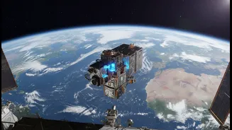
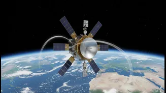
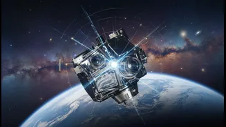
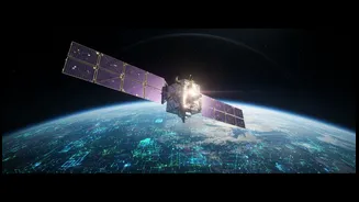
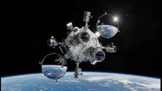
GRITSS, or the Geodetic Reference Instrument Transponder for Small Satellites, is a NASA technology demonstration mission that launched in early July 2026. It's a compact CubeSat designed to tackle a massive challenge: making our measurements of Earth
more precise than ever before. The planet is measured using several independent systems, including the Global Navigation Satellite System (GNSS), which includes GPS, Satellite Laser Ranging (SLR), and Very Long Baseline Interferometry (VLBI). Historically, combining data from these different networks introduced tiny but significant errors, on the scale of millimetres. GRITSS acts as a single, unified reference point in space that all three systems can observe simultaneously. By doing so, it helps eliminate these discrepancies and aligns them to a much higher degree of accuracy.
Synchronising Our World's 'Grid'
The core of GRITSS's mission is to strengthen something called the International Terrestrial Reference Frame (ITRF). Think of the ITRF as the ultimate global grid or coordinate system for our planet. It’s the foundation upon which almost all Earth observation—from space, air, and ground—is built. This reference frame needs to be incredibly stable and accurate because it's used to measure subtle but critical planetary changes like the movement of tectonic plates, the melting of ice sheets, and the rise in global sea levels. Any errors in the ITRF can lead to misinterpretations of this vital data. GRITSS helps by providing a direct link between the different measurement techniques, reducing what are known as 'site tie' errors and creating a more robust and reliable frame.
A New Frontier for Navigation
While you may not think about the ITRF when using Google Maps, its accuracy directly impacts the navigation tools we use daily. Systems like GPS rely on this underlying reference frame to determine your location. By improving the ITRF to a goal of 1-millimetre accuracy, GRITSS helps lay the groundwork for next-generation positioning, navigation, and timing services. This doesn't just mean your ride-hailing app will be slightly more accurate; it has major implications for autonomous vehicles, precision agriculture, and aircraft navigation, all of which require extremely reliable and precise location data to operate safely and efficiently. The enhanced accuracy provides a more stable baseline for all future navigation technologies.
Sharpening Our View of Earth
The same precision that refines navigation also leads to far better mapping. High-accuracy geodetic data is essential for creating detailed topographic maps that are used in urban planning, infrastructure development, and resource management. For a country like India, with its vast and varied terrain, this level of precision is invaluable. It can help in planning new railway lines, managing water resources in river basins, and monitoring the stability of land in areas prone to landslides. Furthermore, in the event of natural disasters like earthquakes or floods, having highly accurate 'before and after' maps is crucial for response teams to assess damage and deliver aid effectively.
Measuring Climate Change Millimetre by Millimetre
Perhaps the most profound impact of the GRITSS mission is in climate science. Many key indicators of climate change involve tiny but persistent changes measured over years. Global sea-level rise, for instance, is currently measured at an average of 3.7 millimetres per year. Accurately tracking such a small signal across the entire globe requires an incredibly stable and precise measurement system. By refining the ITRF, GRITSS helps scientists distinguish the actual climate signal from instrumental noise. This enhanced accuracy will improve our ability to monitor the melting of glaciers in the Himalayas, track changes in groundwater resources, and understand complex ocean-climate cycles like El Niño, providing clearer insights for policymakers and communities on the front lines of climate change.