

A New Golden Age of Observation
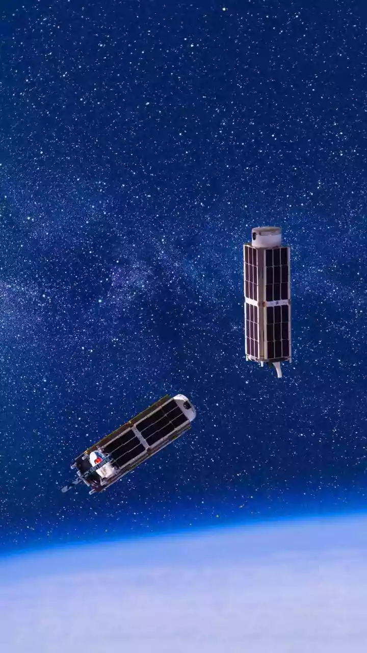
For decades, Earth observation was a field dominated by large, expensive government-led missions. But the economics of space have changed dramatically. The rise of private companies, innovations in reusable rockets, and the development of small, powerful
satellites known as CubeSats have democratized access to orbit. A single CubeSat can be as small as a loaf of bread, making it significantly cheaper to build and launch. As a result, constellations of hundreds of commercial satellites now circle the globe, capturing high-resolution imagery of the entire planet on a daily basis. This flood of new data isn't just creating more pictures; it's providing a continuous, dynamic view of Earth that was previously unimaginable, driving a multi-billion dollar industry.
Taking the Pulse of a Changing Climate
Satellites are our frontline sentinels for monitoring climate change. They provide unbiased, global data on the planet's health that is impossible to gather from the ground. Instruments in space measure the thickness of melting ice sheets, track the steady rise of sea levels, and pinpoint the concentration of greenhouse gases like carbon dioxide and methane in the atmosphere. This long-term record, stretching back to the 1970s, provides the undeniable evidence needed for climate science and international policy. Satellite data helps scientists monitor deforestation in critical ecosystems like the Amazon and track the increasing frequency of extreme weather events, giving us a clearer picture of the challenges ahead.
Smarter Farming from Space
In India, where agriculture employs a vast portion of the population, satellite technology is sparking a new green revolution. Remote sensing provides an essential perspective for monitoring crop health, especially across millions of small farms. Satellites can assess soil moisture, monitor vegetation health, and help forecast crop yields with remarkable accuracy. This data fuels 'precision agriculture,' allowing farmers to apply water and fertilizer only where needed, which boosts yields, saves money, and reduces environmental impact. India's own fleet of remote sensing satellites, such as the Resourcesat and RISAT series, are tailored to meet the country's agricultural needs, including providing all-weather monitoring even during cloudy monsoon seasons.
A Critical Eye During Disasters
When natural disasters strike, the first view of the damage often comes from space. Satellites are crucial tools for emergency management, providing real-time imagery that helps first responders assess the impact of floods, wildfires, hurricanes, and earthquakes. By comparing images from before and after an event, authorities can quickly map the extent of damage, identify the hardest-hit areas, and even detect power outages. This information is vital for planning evacuation routes, coordinating rescue efforts, and deploying resources effectively. In situations where ground communication networks are down, satellites also provide essential connectivity for relief teams, keeping shelters and command centers online.
The Power of Data and Artificial Intelligence
The sheer volume of data beamed down from satellites is staggering, but collecting images is only half the story. The real revolution lies in our ability to interpret this information. Artificial intelligence and machine learning algorithms are now essential for analysing petabytes of satellite data, identifying patterns, and delivering actionable insights. AI can automatically detect changes in land use, track illegal logging activities, monitor construction projects, and even predict crop yields. This combination of AI and satellite imagery is transforming industries from insurance and finance to urban planning, turning raw pixels into predictive intelligence that drives business and policy decisions.