

An Eye in the Sky for Our Farms
Remote sensing is the science of getting information about an object from a distance, typically using sensors on satellites, aeroplanes, or drones. Think of it like taking a photograph, but instead of just capturing visible light, these advanced sensors capture
data from across the electromagnetic spectrum, including infrared and microwave radiation. This allows scientists to see far more than the human eye can, detecting subtle changes in plants and soil. This technology gives a comprehensive view of an entire field or region at once, spotting potential issues like water stress or pest infestations before they become obvious from the ground.
Satellites and Drones: The Tools of the Trade
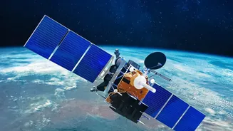
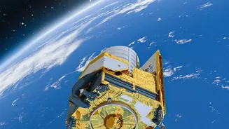
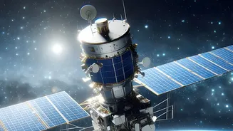
The two primary platforms for agricultural remote sensing are satellites and drones. Satellites, like those operated by ISRO, provide a big-picture view, regularly monitoring vast agricultural areas across the country. They are crucial for forecasting crop production on a national scale, assessing drought conditions, and monitoring land use changes. Drones, on the other hand, offer highly detailed, low-altitude views of individual farms. They can generate high-resolution maps to pinpoint specific problem areas, assess crop damage for insurance claims, or even carry out targeted spraying of fertilisers and pesticides, making them powerful tools for what is known as precision agriculture.
Decoding a Plant's 'Signature'
One of the most powerful tools in remote sensing is the Normalized Difference Vegetation Index, or NDVI. It's a simple but effective way to measure plant health. Healthy, vibrant plants are very good at absorbing red light for photosynthesis and reflecting near-infrared (NIR) light. Stressed or unhealthy plants do the opposite. By measuring the difference between the reflected red and NIR light, scientists can create a 'greenness' map of a field. Areas with high NDVI values indicate healthy, dense vegetation, while low values can flag problems like nutrient deficiencies, disease, or lack of water, often days or weeks before a farmer could spot the issue with their own eyes.
From Data to Data-Driven Decisions
Collecting data is only the first step; the real magic happens when it's turned into actionable advice for farmers. NDVI maps can guide the variable-rate application of fertilisers, meaning farmers apply more only where it's needed, saving money and reducing environmental runoff. Similarly, sensors that measure soil moisture and crop temperature can help create highly efficient irrigation schedules, conserving precious water. This data also empowers government agencies. For instance, ISRO uses satellite data for its FASAL program to forecast crop yields and for the NADAMS program to provide early warnings for drought conditions, helping to ensure national food security.
A Revolution for Indian Agriculture
In India, where agriculture employs a massive portion of the population on farms that are often small, remote sensing is a game-changer. Government initiatives are increasingly using satellite data and AI to build a robust precision agriculture ecosystem. For instance, ISRO's Krishi-Decision Support System (Krishi-DSS) provides farmers with real-time data and advisories on everything from pest outbreaks to weather patterns. By enabling farmers to make informed, proactive decisions, this technology helps increase yields, reduce risk, and promote more sustainable practices. The upcoming NISAR satellite, a joint mission between NASA and ISRO, promises to provide even more frequent and detailed data, further revolutionising how crops are managed from planting to harvest.