




A New Eye in the Sky for Water
India's reliance on groundwater is staggering. It fuels over 60% of agriculture and provides drinking water for 85% of rural households. But this dependence has led to a silent crisis: over-extraction is causing water tables to plummet in many parts of the
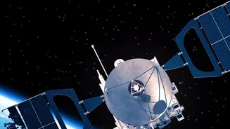
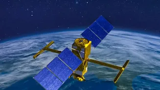
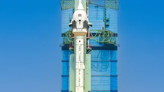
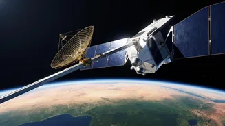
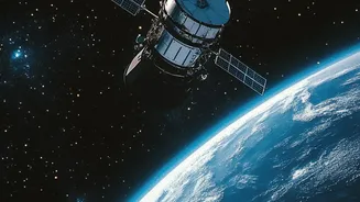
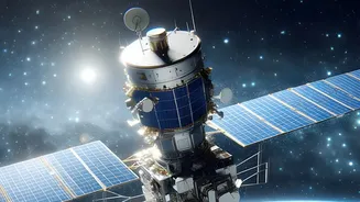
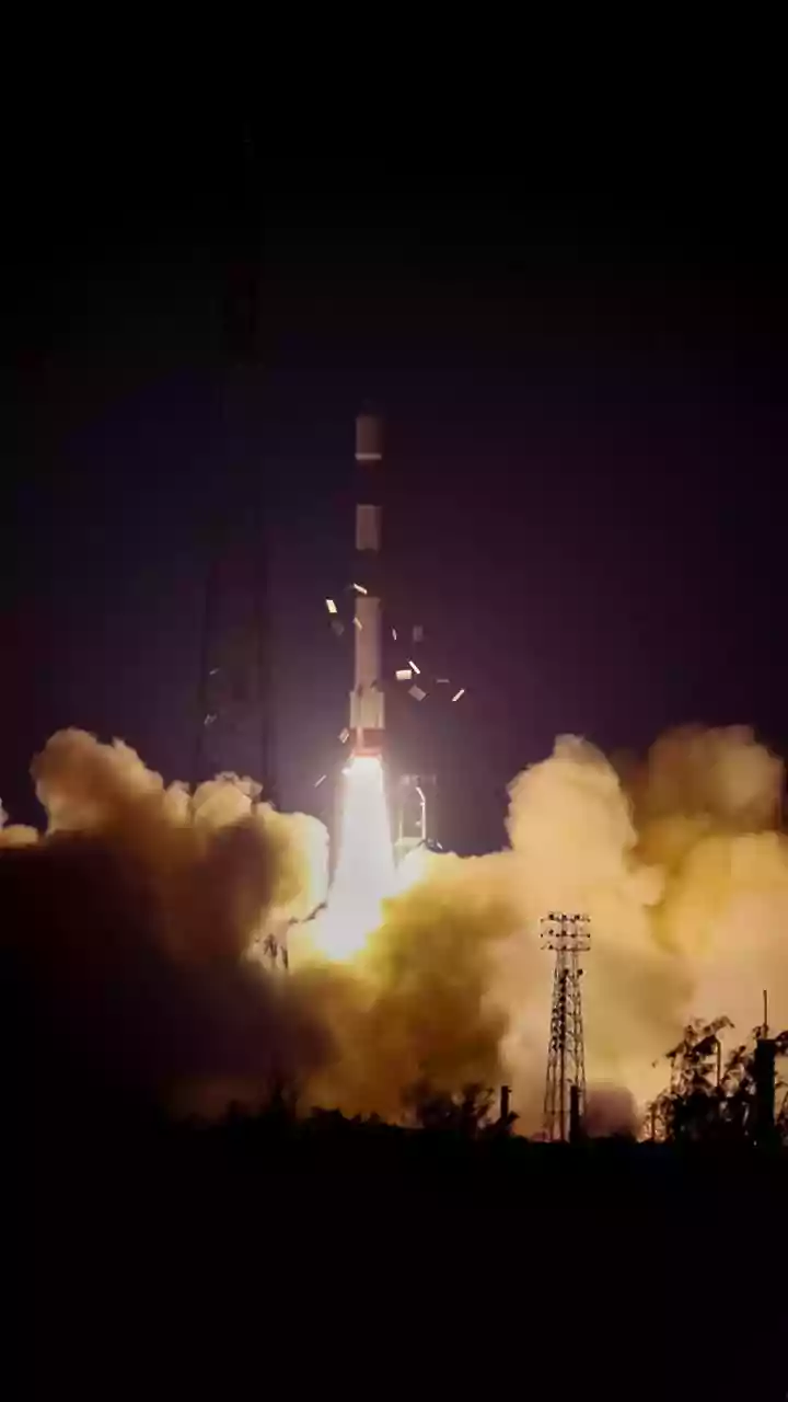
country. Traditionally, monitoring this vast, hidden resource has been a slow process, relying on a limited number of observation wells. Now, a game-changing collaboration between NASA and ISRO is providing a powerful new perspective. The NASA-ISRO Synthetic Aperture Radar (NISAR) satellite, launched in mid-2025, is a sophisticated Earth-observing mission designed to track subtle changes on our planet's surface with unprecedented detail. While its applications are broad, from monitoring earthquakes to glaciers, one of its most critical tasks for India is helping to manage its precious groundwater.
Seeing Beneath the Surface with Radar
How can a satellite orbiting 747 kilometres above Earth see what's happening to water underground? The answer lies in its advanced radar technology and a technique called Interferometric Synthetic Aperture Radar, or InSAR. NISAR doesn't directly see the water. Instead, it measures tiny changes in the ground level with centimetre-scale precision. As massive amounts of water are pumped out of underground aquifers, the land above can slowly sink—a phenomenon known as subsidence. Conversely, when aquifers are successfully replenished during monsoon seasons or through recharge projects, the ground can rise slightly. NISAR beams radar signals to Earth and meticulously compares the 'before' and 'after' images taken over its 12-day repeat cycle. By detecting these minute shifts in the ground surface, scientists can infer the rate of groundwater depletion or recharge over vast areas. Unlike optical satellites, radar can see through clouds and at night, ensuring consistent monitoring regardless of weather conditions.
From Data to Decisions
This stream of high-resolution data is transforming water management from a reactive to a proactive science. For the first time, authorities can create detailed, dynamic maps of entire aquifer systems, identifying hotspots of over-extraction with pinpoint accuracy. The data can validate the effectiveness of water conservation schemes like the Atal Bhujal Yojana and Jal Shakti Abhiyan, showing whether efforts to promote rainwater harvesting and managed aquifer recharge are actually working. Furthermore, NISAR's S-band radar, developed by ISRO, is exceptional at measuring soil moisture at a high resolution of 100 meters. This is a direct benefit for farmers, enabling more precise irrigation and helping to build early warning systems for drought. By knowing exactly where and when to water crops, farmers can reduce their reliance on groundwater, saving both water and the energy used to pump it.
A Future of Smarter Water Management
The insights from NISAR provide a comprehensive picture that was previously impossible to assemble. This allows for better long-term planning, helping policymakers design more effective regulations and incentivise sustainable practices. For example, identifying areas with severe subsidence can guide decisions on restricting new borewells or promoting less water-intensive crops. The data, which is made freely and openly available, also empowers local communities and researchers, fostering a more democratic and science-based approach to water governance. By combining supply-side efforts like rainwater harvesting with demand-side management informed by NISAR's data, India can move towards a more secure water future. The satellite provides the crucial evidence needed to manage a shared resource, ensuring that policy is not based on guesswork but on a clear understanding of the consequences of our actions.