






A Torrent of Trouble
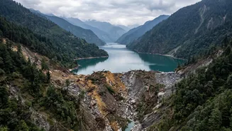
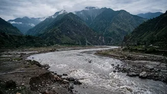
The geography of the region sets the stage for disaster. Nepal’s rivers, part of the vast Ganges basin, are young, steep, and highly energetic. When a flash flood is triggered—whether by a cloudburst, a landslide blocking a river, or a glacial lake outburst—a
massive volume of water hurtles down the narrow mountain valleys. As these rivers exit the mountains and enter the flat, low-lying plains of India's Terai region, particularly in states like Bihar and Uttar Pradesh, their energy dissipates. The water spreads out, inundating vast areas, and the rivers, suddenly sluggish, can no longer carry the immense load of sediment they have scoured from the mountains.
The River of Sorrow and Its Silt
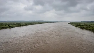
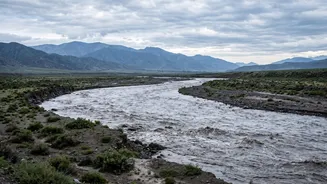
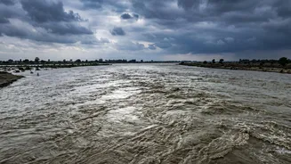
The Kosi River, often called the 'Sorrow of Bihar', is a prime example of this phenomenon. It is one of the most sediment-heavy rivers in the world, carrying millions of cubic metres of silt annually. Over decades, this relentless deposit of silt has caused the riverbed to rise dramatically. In some areas, the riverbed is now several feet higher than the surrounding agricultural land. This not only reduces the river's capacity to hold water, making it prone to spilling its banks, but also causes the river to change its course unpredictably and violently. Over the past 250 years, the Kosi has shifted its course westwards by about 120 kilometres, leaving a trail of destruction.
The Embankment Paradox
To tame these wild rivers, India and Nepal have collaborated on building structural solutions like barrages and embankments since the Kosi Agreement of 1954. These massive earthen walls are designed to confine the river to a specific channel. However, they create a false sense of security and introduce a new set of problems. By trapping the river, they also trap its silt. The riverbed inside the embankments rises faster than the land outside, turning the river into an elevated aqueduct. A breach in these aging, and sometimes poorly maintained, structures can be far more catastrophic than a natural flood, releasing a sudden, high-velocity wall of water onto the lower-lying plains. The 2008 Kosi embankment breach, which displaced around three million people in Bihar, occurred when the river's flow was well below its danger limit, highlighting the structural vulnerability.
The Challenge of Early Warnings
While treaties and joint committees exist to manage these transboundary rivers, effective, real-time communication remains a significant hurdle. For an early warning to be effective, information about rainfall, river discharge, and potential threats in Nepal's upper catchments must reach downstream Indian communities with enough lead time to act. In recent years, community-based early warning systems using simple electronic sensors and mobile phones have shown promise, sometimes increasing the warning lead time from a few hours to a day. However, official transboundary data sharing, especially for events originating higher up near the Tibet border, can be slower. Without timely and reliable information flowing across borders, disaster response teams are left reacting to a crisis rather than preparing for it.
A Persistent Cycle of Loss
For the communities in the floodplains of Bihar and Uttar Pradesh, this is a recurring tragedy. Each major flood event means lost lives, ruined crops, and homes buried under several feet of sand and silt, rendering fertile farmland useless for years. The immediate emergency response of evacuation gives way to the long-term struggle of rebuilding livelihoods from scratch, often with little to no resources. The constant threat forces people into a cycle of displacement and poverty. This year's flash floods in Nepal have once again put authorities and residents in downstream Indian districts on high alert, evacuating vulnerable areas and anxiously monitoring the Gandak and Kosi rivers.