






A Constant Watch from 36,000 Kilometres
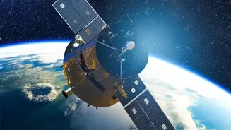
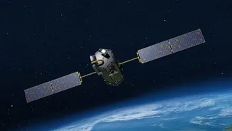
Most earth observation satellites orbit the planet at a low altitude, meaning they pass over a specific location only periodically. This creates information gaps. EOS-05, also known as GISAT-1A, was designed to be different. It was intended for a geostationary
orbit, approximately 36,000 kilometres above the equator. At this altitude, a satellite's orbital period matches Earth's rotation, allowing it to remain in a fixed position relative to the surface. This would have enabled it to continuously monitor the entire Indian subcontinent, providing a steady stream of data that is impossible to get from lower-orbiting satellites.
The Game-Changer: Near Real-Time Imaging
The true power of EOS-05 lay in its planned ability to provide near-real-time imagery of large areas at frequent intervals. The mission profile envisioned the satellite capturing images of the region every 30 minutes, with the capability to revisit priority areas in as little as five minutes. This rapid revisit rate is a crucial upgrade for tracking fast-developing events. For agencies like the National Disaster Management Authority (NDMA), this would mean moving from getting periodic snapshots to watching a live feed of an unfolding crisis, such as a cyclone making landfall or floodwaters spreading.
Transforming Disaster Response
During natural disasters, timely and accurate information can save lives. The capabilities of EOS-05 were meant to directly aid disaster response across several scenarios. For cyclones, agencies could track their formation, intensification, and movement with unprecedented frequency, leading to more accurate warnings for coastal communities. In the case of floods and cloudbursts, the satellite would have helped in mapping the extent of inundation in near real-time, allowing for more effective rescue and relief operations. It would have also been a powerful tool for monitoring forest fires, helping authorities detect hotspots early and track their spread to deploy resources efficiently.
A Boost for Weather Forecasting and Agriculture
Beyond disaster management, the India Meteorological Department (IMD) stood to gain significantly. The continuous stream of high-resolution imagery would enhance weather monitoring and forecasting, especially for tracking cloud systems and predicting the onset and progress of the monsoon. The satellite’s multispectral and hyperspectral imaging capabilities would also have provided valuable data for agriculture, forestry, and environmental monitoring. This includes assessing crop health, tracking changes in vegetation, and observing land and water bodies, all of which are vital for resource management and national planning.
A Promise Unfulfilled
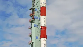
The reason this potential is described in conditional terms—'could have' and 'would have'—is due to a major setback. EOS-05 is the designated replacement for a satellite named GISAT-1 (also known as EOS-03), which was lost during its launch in August 2021. The GSLV-F10 rocket carrying it suffered a malfunction in its cryogenic upper stage, preventing the satellite from reaching its intended orbit. After a five-year gap and several other mission setbacks for ISRO, the new EOS-05 satellite is now scheduled for launch aboard the GSLV-F17 rocket on September 4, 2026, representing a critical second attempt to establish this capability.