



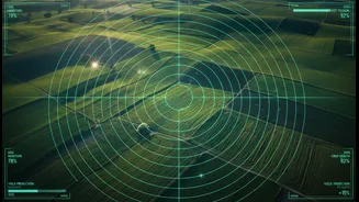




A Planet Under Observation
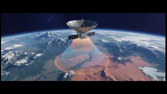
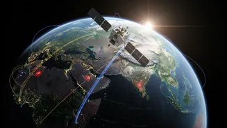
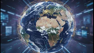
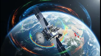
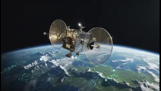
Remote sensing is the science of monitoring the Earth from a distance, primarily using satellites. These eyes in the sky use specialised sensors to collect data on everything from ocean temperatures and ice sheet thickness to atmospheric chemical composition
and forest cover. For decades, this technology has been fundamental to understanding our planet. No single nation can monitor the entire Earth system on its own, making space a unique vantage point for gathering global environmental data. This information helps us track weather, manage natural resources, and, increasingly, monitor the effects of climate change.
The Challenge of Fragmented Data
Despite having hundreds of Earth-observing satellites in orbit, a clear, unified picture of our climate crisis remains challenging to assemble. Data is often collected by different agencies using different instruments and standards. This can be like trying to complete a puzzle with pieces from several different boxes; the parts don't always fit together. Gaps in data collection, both in terms of time and location, mean our understanding of long-term trends can be incomplete. Furthermore, some satellites can't see through clouds or smoke, and there's often a trade-off between capturing a wide view and getting high-resolution details. These inconsistencies make it difficult for scientists and policymakers to get the actionable information they desperately need.
A United Front in Space
Recognising that a fragmented approach is no longer viable, space agencies are increasing their collaboration. Agencies like NASA (USA), ESA (Europe), and JAXA (Japan) have been leading efforts to harmonise their Earth observation missions. This involves not only planning future missions together but also creating open-source platforms where data from different satellites can be combined and analysed seamlessly. The goal is to create long-term, consistent records of what are known as Essential Climate Variables—critical indicators like sea-level height, greenhouse gas concentrations, and glacier mass that tell the story of our changing planet. This collaborative spirit turns individual satellite missions into a cohesive global climate monitoring system.
Why Better Data Matters for India
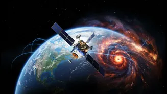
For India, a nation facing significant climate threats, this global push for better data is critical. With 75% of its districts prone to extreme climate events, improved remote sensing can transform disaster management. Better satellite data allows for more accurate flood and cyclone forecasting in coastal states like Odisha and Kerala, and more effective drought monitoring in regions like Maharashtra. India's own space agency, ISRO, is a major player in this field, operating world-class remote sensing satellites like CartoSAT and RISAT. International collaborations, such as the NISAR mission—a joint project between NASA and ISRO—are set to provide unprecedented detail on everything from Himalayan glacier melt to changes in agricultural land. The TRISHNA mission, a partnership with France, will focus on monitoring water resources and crop health, directly supporting farmers' resilience to climate shocks.
From Pixels to Policy
The ultimate goal of these space-based efforts is to turn satellite pixels into effective policies on the ground. The fusion of remote sensing with artificial intelligence is making this possible faster than ever. AI algorithms can now process vast amounts of satellite data in hours instead of weeks, generating detailed flood maps after a storm or assessing crop damage to speed up insurance claims. This 'climate intelligence' allows governments and industries to move from simply measuring risk to actively managing it. For communities in India and around the world, this means better early warning systems, more resilient infrastructure, and smarter management of precious resources like water and food.