

The Big Picture From 500 Kilometres Up
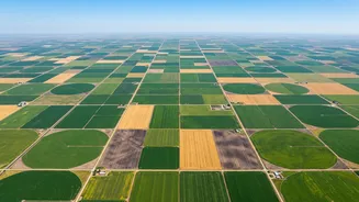
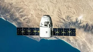
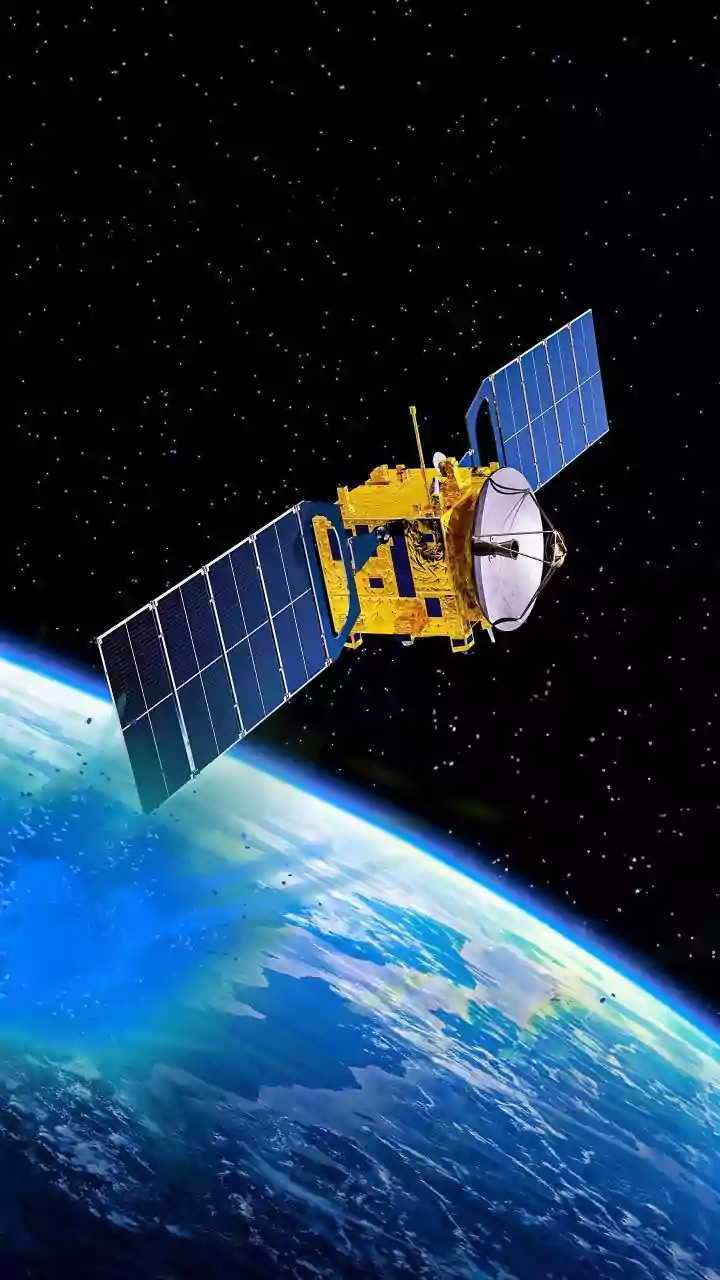
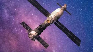
Before satellite monitoring, assessing crop health across a state or district required extensive fieldwork, which was slow, expensive, and often inconsistent. Remote sensing has completely changed this paradigm. A single satellite orbiting hundreds of kilometres
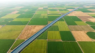
above Earth can capture data from millions of fields in one pass. This isn't just a faster way to do the old job; it allows for entirely new capabilities. Instead of a rough, state-wide picture that takes months to assemble, the health of nearly every field can be updated every few days. This high frequency means that issues like water stress or nutrient deficiencies can be spotted before they become visible to the naked eye on the ground, allowing for early intervention.
Seeing the Unseen With Specialised Light
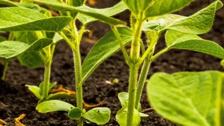
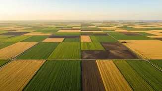
Satellites don't just take simple pictures; they capture light in wavelengths far beyond what the human eye can see. This is the key to their agricultural prowess. The most common metric used is the Normalized Difference Vegetation Index, or NDVI. It sounds complex, but the principle is simple: healthy, thriving plants absorb red light for photosynthesis and strongly reflect near-infrared (NIR) light. By measuring the ratio between these two light waves, satellites can generate a precise score of vegetation density and health. A high NDVI value indicates a lush, healthy crop, while a low value signals stress, sparse growth, or bare soil. This data is then translated into colour-coded maps where a farmer can instantly see which parts of their field are thriving and which need immediate attention.
Scale and Cost: The Unbeatable Advantage
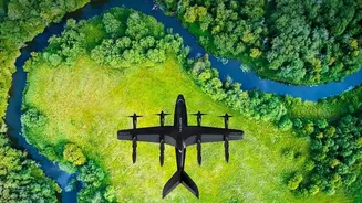
When it comes to monitoring large areas, satellites are unmatched. Drones can provide higher-resolution images but are only practical for smaller, specific fields due to their limited range and the cost of operation. In contrast, a satellite can cover an entire agricultural region in a single pass, making it incredibly cost-effective for large-scale monitoring. The European Space Agency's Sentinel-2 satellites, for example, photograph every field on Earth every five days, and this data is often available for free. This combination of vast coverage and regular, low-cost updates gives satellites a distinct advantage for state-level and national programmes, as well as large agribusinesses managing operations across multiple locations.
Powering India's Agricultural Future
In India, this technology is already moving from a research tool to a core component of agricultural governance. ISRO and the government have been running programmes like FASAL (Forecasting Agricultural output using Space, Agro-meteorology and Land-based observations) for decades to forecast crop production. Today, this technology underpins major initiatives like the Pradhan Mantri Fasal Bima Yojana (PMFBY), where it is used for more accurate yield estimation and faster settlement of insurance claims. Programmes like YES-TECH use satellite data to estimate yields at the Gram Panchayat level, reducing disputes and increasing transparency. By combining optical data (like NDVI) with radar data, which can see through clouds, Indian agencies can monitor crops even during the crucial monsoon season.
From Data to Decision
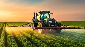
Ultimately, the power of satellite monitoring lies in turning data into actionable decisions. These insights enable precision agriculture, where resources are used more efficiently. For example, by identifying areas of water stress, farmers can target irrigation exactly where it's needed, saving water and preventing yield loss. Similarly, NDVI maps can guide the variable application of fertilisers, ensuring that inputs are directed to underperforming zones instead of being applied uniformly. This leads to lower costs, higher yields, and more sustainable farming practices. While satellite data can't replace a farmer's on-the-ground knowledge—it can tell you where there's a problem, but not always what it is—it serves as a powerful early warning system that makes farming more data-driven and resilient.