




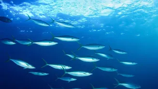


ISRO’s Eye on the Oceans
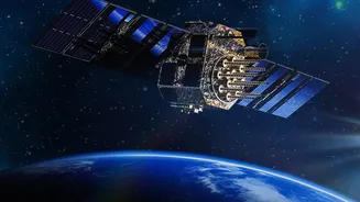
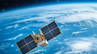
High above the Earth, moving at roughly seven kilometres per second, is a series of remarkable Indian satellites dedicated to oceanography. This is ISRO's OceanSat programme, a mission designed to continuously monitor our vast seas. The latest in this
series, formally known as Earth Observation Satellite-6 (EOS-06) and also called Oceansat-3, was launched in late 2022. It carries a suite of advanced sensors, but its most crucial instrument for fisheries is the Ocean Colour Monitor (OCM-3). This sensor doesn't see individual fish; instead, it does something far more clever. It reads the subtle shifts in the colour of seawater to create a map of marine life.
The Science of Ocean Colour
The ocean isn't uniformly blue. Its colour changes based on what's in the water. The OCM-3 is essentially a highly sensitive spectro-radiometer that can detect these subtle variations. The key it looks for is the specific shade of green produced by chlorophyll, the pigment found in microscopic marine plants called phytoplankton. Just like plants on land, phytoplankton form the base of the food web in the ocean. Where there is a high concentration of chlorophyll, it signals a dense bloom of phytoplankton. The satellite measures how sunlight scatters off the sea surface, and by analysing the ratio of blue to green light, scientists can estimate the amount of phytoplankton present.
Following the Marine Food Chain
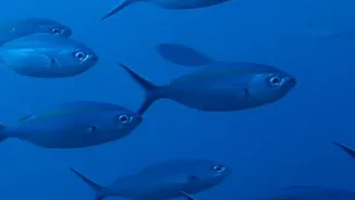
The connection between phytoplankton and valuable fish stocks is a simple, direct food chain. Phytoplankton are consumed by zooplankton (tiny marine animals), which in turn are eaten by small fish like sardines and mackerel. These smaller fish then attract larger, commercially important species that fishermen are seeking. So, when ISRO's satellite spots a phytoplankton bloom, it's not just seeing algae; it's identifying a bustling restaurant for marine life. By mapping these blooms, the satellite effectively pinpoints Potential Fishing Zones (PFZs)—areas where fish are likely to aggregate for feeding.
From Data to Daily Advisories
The raw data from space is just the first step. This information is beamed down to ground stations and processed by the Indian National Centre for Ocean Information Services (INCOIS) in Hyderabad. Scientists at INCOIS integrate the ocean colour data with other satellite measurements like sea surface temperature to refine their predictions. They then generate daily PFZ advisories, which are detailed maps pinpointing the exact latitude and longitude of these fish-rich zones. These advisories also provide information on the depth, as well as the distance and direction from over 580 fish landing centres along the Indian coast. To ensure maximum reach, this vital information is disseminated to fishermen in their regional languages through SMS, dedicated mobile apps, and community radio.
Real-World Impact for Fishermen
For the millions of Indians who depend on fishing for their livelihood, this technology is a game-changer. Instead of spending hours and precious fuel searching vast, empty stretches of ocean, fishermen can now head directly to the locations identified in the advisories. This significantly reduces their operational costs and time at sea. Studies and feedback from fishing communities have confirmed that using the PFZ advisories leads to a substantial increase in their catch compared to conventional methods. This not only improves the profitability and socio-economic status of fishermen but also makes the entire operation more sustainable by reducing the carbon footprint of fishing vessels. Furthermore, by reducing search times, the advisories contribute to the safety of fishermen who spend less time exposed to unpredictable weather at sea.