




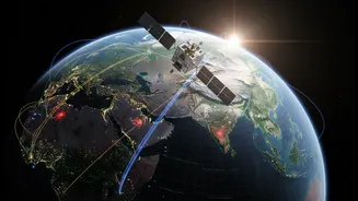


What is this 'Eye in the Sky'?
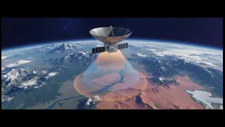
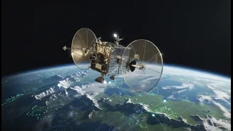
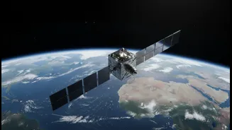
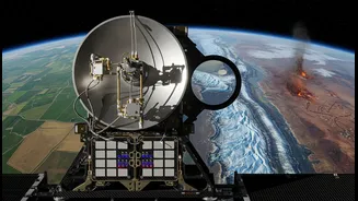
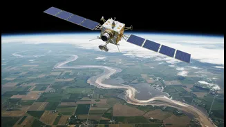
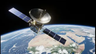
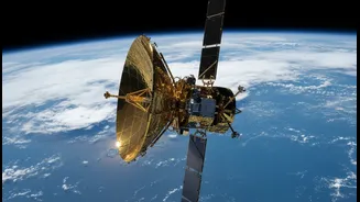
NISAR is an advanced Earth-observing satellite, born from a landmark partnership between NASA and the Indian Space Research Organisation (ISRO). Launched aboard ISRO's GSLV rocket, it's the first satellite to use two different radar frequencies (L-band
and S-band) to monitor our planet. Think of it as having two types of vision: one that can see through clouds and darkness, and another that can penetrate forest canopies and topsoil. This dual-frequency capability allows it to capture highly detailed, all-weather images of Earth's surface day and night, repeating its global scan every 12 days. The satellite is designed to detect changes on the planet's surface as small as a centimetre, providing a continuous, reliable stream of data.
A Revolution for Indian Agriculture
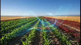
For India's farmers, NISAR offers a leap into data-driven agriculture. The satellite’s most significant contribution is its ability to map soil moisture with a high resolution of 100 metres. This allows for precise irrigation management, helping farmers know exactly when and where to water their crops, conserving a precious resource. By distinguishing between different crop types and monitoring their health throughout the growing season, NISAR provides critical information for yield prediction and ensuring food security. With increasingly unpredictable monsoons, this near real-time data can help create early warning systems for droughts, allowing authorities and farmers to take proactive measures. The data, accessible through platforms like the Bhoonidhi portal, empowers farmers to move from traditional guesswork to precision farming.
Building Smarter and Safer Cities
India's rapidly growing cities face challenges like land subsidence—the gradual sinking of the ground—and stress on infrastructure. NISAR's ability to detect minute surface deformations is invaluable for urban planners. Cities can monitor ground movement to identify areas at risk, preventing potential infrastructure damage and ensuring safer construction. The satellite data can also be used to track urban sprawl, manage water bodies, and assess the vulnerability of critical infrastructure in the face of climate change. For instance, in flood-prone cities, NISAR's all-weather imaging can map inundated areas in near real-time, even during heavy monsoons, enabling a more effective emergency response.
A Guardian During Natural Disasters
In a country prone to natural calamities, NISAR serves as a crucial tool for disaster management teams. Its radar can see through clouds, smoke, and the dark of night, making it exceptionally useful during emergencies. After an earthquake, it can quickly map damaged areas to guide rescue efforts. For landslides, a constant threat in Himalayan states, it can monitor slow-moving land and identify regions with high risk. The satellite's data will also help in tracking the melting of Himalayan glaciers, which has long-term implications for water resources and flood risk downstream. By providing critical information before, during, and after a disaster, NISAR significantly enhances India's resilience and preparedness.