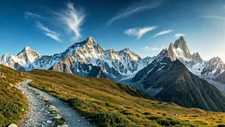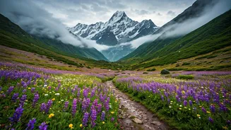


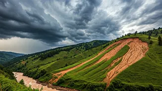


The Monsoon's Double-Edged Sword
The very reason the Valley of Flowers is famous is also what makes it risky: the monsoon. Unlike many Himalayan treks best avoided in the rains, the valley is a monsoon-fed ecosystem. The season, running from late June to September, triggers the spectacular
bloom of over 600 flower species. The park officially opened on June 1, 2026, and will welcome trekkers until early October. While the floral density peaks from mid-July to mid-August, the constant rain creates slippery trails, raises the risk of landslides on access roads, and can cause weather conditions to change in an instant. This unique trek is classified as easy to moderate, but the monsoon adds a layer of difficulty that demands respect and planning.
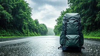
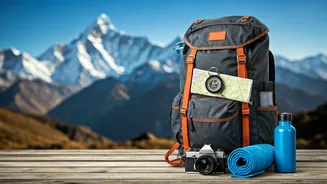
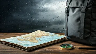
Essential Weather-Smart Gear
Your packing list is your first line of defence. Cotton is a poor choice for monsoon treks as it gets heavy and takes too long to dry. Instead, focus on layers of quick-drying synthetic fabrics. The most critical items include a high-quality poncho or a waterproof jacket and trousers, waterproof trekking shoes with excellent grip, and a rain cover for your backpack. To keep your essential electronics, documents, and warm layers completely dry, use dry bags or zip-lock plastic bags inside your main rucksack. Many trekkers also find a sun cap useful; worn under your hood, its brim keeps rain from dripping onto your face and improves visibility. Finally, don't forget to pack several extra pairs of quick-dry socks to prevent discomfort and blisters.
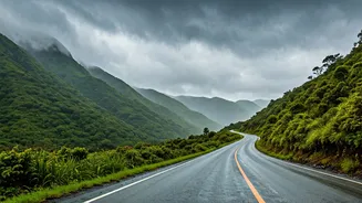
Mastering On-Trail Awareness
Being weather-smart extends beyond gear. In the Himalayas, the weather often turns in the afternoon, so an early start is crucial. Aim to be on the trail by 7 AM to maximise your time in clearer morning conditions and get back to your base at Ghangaria before the late afternoon downpours. A trekking pole is invaluable, providing an extra point of contact for stability on muddy, slippery sections. Always monitor local conditions. Pay attention to the water levels in streams you need to cross and be cautious on paths that look prone to erosion or rockfall. Hiring an experienced local guide is highly recommended, as they possess intimate knowledge of the terrain and can spot warning signs an untrained eye might miss.
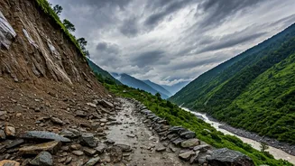
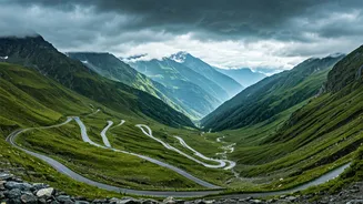
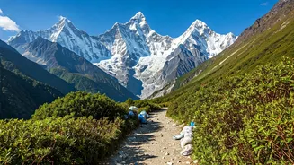
Planning and Acclimatisation
A successful trek requires a smart itinerary. The journey involves a significant altitude gain, from Govindghat at around 1,800 metres to Ghangaria (the base camp) at over 3,000 metres, and the valley itself reaching about 3,658 metres. This climb is enough to affect some people, so building acclimatisation into your plan is vital. It’s also wise to have buffer days in your schedule. The roads leading to the trek's starting point, particularly the stretch to Govindghat, are vulnerable to monsoon landslides, which can cause delays. Before you leave, check the latest weather forecasts from sources like the India Meteorological Department (IMD) and confirm road status with local authorities or your tour operator.