




A New Era of Precise Forecasting
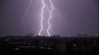
The days of vague, state-wide monsoon predictions are fading. The IMD now issues highly localized, district-level warnings and even 'nowcasts' that predict intense weather events within a two-to-three-hour window. Using a colour-coded system (Green, Yellow,
Orange, Red), these alerts provide a more granular view of expected rainfall, wind speeds, and potential impact. This shift from broad-stroke advisories to specific, actionable intelligence is a significant leap forward in public safety. A warning for your specific district allows for better-preparedness, helping residents and local authorities anticipate conditions with far greater accuracy than before. This precision, however, shines a spotlight on the next critical information gap.
The Last-Mile Information Problem
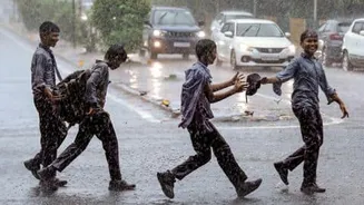
Knowing that heavy rain is expected in your district is one thing; knowing if the underpass on your route to work is flooded is another. This is the last-mile problem of weather information. A precise forecast is only as useful as the real-world data it can be paired with. The critical question for any commuter is not just if it will rain, but how that rain is affecting the specific roads, highways, and railway stations they need to use. Without real-time updates on infrastructure conditions, even the most advanced weather alert leaves citizens with an incomplete picture for making safe travel decisions.
Navigating Waterlogged Highways
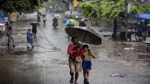
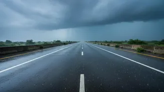
During the monsoon, highways can become treacherous. Heavy rain reduces visibility, makes roads slippery, and can lead to significant waterlogging, causing massive traffic delays and increasing accident risks. Studies show that even light rain can reduce average highway speeds, while heavy downpours can slash traffic flow significantly. The IMD's improved district alerts make it more important than ever to have live updates on highway conditions. Imagine receiving an Orange alert for your district and then getting a real-time notification that a particular stretch of the national highway is experiencing severe waterlogging, allowing you to reroute your journey. This synergy between weather forecasting and live infrastructure monitoring is the key to mitigating monsoon travel chaos.
The Railway Station Conundrum
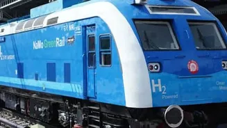
Railways, the lifeline of the nation, are also highly vulnerable to monsoon weather. Waterlogged tracks can delay or halt train services, and flooded platforms and entryways create hazardous conditions for lakhs of passengers. While Indian Railways is adopting AI-based systems for track monitoring and safety, the challenge of passenger-facing information during rains persists. Knowing the real-time status of a station—whether platforms are accessible, which trains are running on schedule, and if there's significant waterlogging in the vicinity—becomes invaluable when a heavy rain alert is issued. A district-level warning gives passengers the heads-up, but station-level condition reports would empower them to make informed decisions about their travel.
Bridging the Gap with Technology
The solution lies in integrating weather data with real-time infrastructure monitoring. This is already beginning to happen. Technologies like AI-powered road surveillance can assess road conditions and detect waterlogging from camera feeds. Sensor networks deployed on highways and at critical urban junctions can provide live updates on flooding. For railways, similar sensor-based systems and crowd-sourcing apps could report on platform and track conditions. By feeding this ground-level data into public-facing mobile apps like UMANG or dedicated transport portals, authorities can create a comprehensive safety net. When the IMD issues a warning, these platforms could automatically display real-time conditions of major routes and stations within that specific district.