





A New Generation of Weather Watchers
At the forefront of this new capability is the INSAT-3DS satellite, launched in February 2024. It's a follow-on mission designed to work alongside the currently operational INSAT-3D and INSAT-3DR satellites. Think of it as upgrading from a standard definition
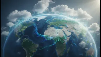
television to high definition. Fully funded by the Ministry of Earth Sciences, this satellite isn't just a technological marvel; it's a dedicated tool designed for enhanced meteorological observations. Its primary job is to monitor land and ocean surfaces to provide vastly improved weather forecasting and disaster warnings for the entire country.
What Makes These Visuals Better?
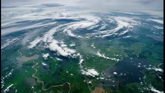
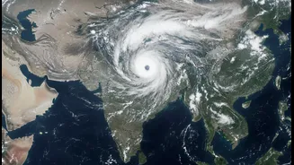
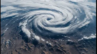
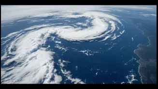
The key lies in the satellite's advanced payloads: a six-channel imager and a 19-channel sounder. The imager captures pictures of the Earth across multiple spectral bands, including visible light and infrared. This allows it to see things older satellites couldn't, like providing clear nighttime pictures of low clouds and fog. The visuals are not only higher resolution but are also delivered more frequently. For areas with severe weather, the satellite can perform a rapid scan, generating images every five minutes. This near real-time data is crucial. For instance, recent imagery clearly showed two powerful, simultaneous monsoon systems over the Arabian Sea and the Bay of Bengal, allowing forecasters to understand the intensity and potential impact on states like Maharashtra and West Bengal.
Seeing Beyond the Clouds
The real game-changer is the atmospheric sounder. While the imager shows us the surface of clouds, the sounder allows scientists to see the weather in three dimensions. It measures the vertical profile of the atmosphere, providing data on temperature and humidity at different altitudes. This is like taking a vertical slice of the sky to see how a weather system is structured. This capability helps create more than 40 different data products, including quantitative precipitation estimates, sea surface temperature, and cloud properties. For forecasters, this means moving from just observing a storm to understanding its internal dynamics, leading to more accurate predictions about its intensity and movement.
Impact on the Ground
For a country heavily dependent on agriculture, the monsoon's behaviour is a matter of national importance. Better visual data and forecasting have a direct impact on farmers. Improved agro-advisory services can provide more precise information on when to sow, irrigate, or harvest, based on reliable short and medium-term forecasts. The satellites also help in creating detailed assessments of soil moisture, which is critical for crop health, especially after prolonged dry spells. For example, after one of the driest Junes in recent memory, satellite imagery in early July 2026 captured the dramatic surge of monsoon clouds, offering vital information to farmers anxiously awaiting rain.
Protecting Lives and Infrastructure
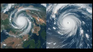
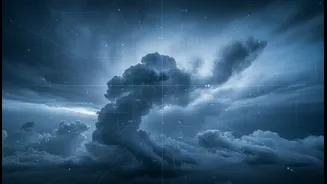
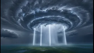
Beyond agriculture, these clear visuals are a powerful tool for disaster management. The ability to monitor the genesis and track of cyclones with greater precision allows authorities to issue timely and accurate warnings, giving coastal communities more time to prepare and evacuate. For urban areas, understanding the structure of intense convective systems—towering thunderclouds capable of producing very heavy rain—can help in preparing for flash floods and waterlogging. The infrared imagery, which shows cloud tops as exceptionally cold and bright white, is a classic signature of such dangerous systems, giving a clear visual warning of the impending threat.