



The Challenge of Sudden Surges
The monsoon doesn't always arrive as a gentle, steady presence. It can unleash powerful, concentrated bursts of rain and wind known as monsoon surges. These events are driven by complex interactions between the ocean and atmosphere, often forming rapidly
over the vast expanse of the Arabian Sea and Bay of Bengal. For centuries, predicting the precise timing and intensity of these surges has been a monumental challenge for meteorologists. Traditional ground-based observations are limited in scope, leaving coastal communities and maritime operations vulnerable to sudden onslaughts of extreme weather that can disrupt agriculture, endanger fishermen, and cause flash flooding.
ISRO's Eyes in the Sky
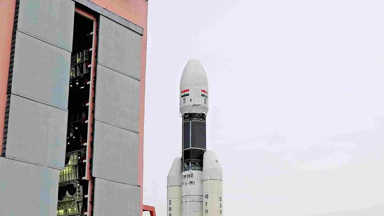
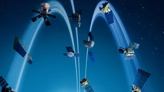
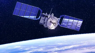
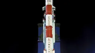
To counter this challenge, ISRO has deployed a fleet of advanced Earth observation satellites. Key among these are the satellites in the Oceansat series, including the recent EOS-06 (Oceansat-3), and the Indo-French collaboration satellite SARAL (Satellite with ARgos and ALtiKa). These are not ordinary cameras; they are equipped with sophisticated radar instruments specifically designed to peer through clouds and operate day or night. Positioned in polar sun-synchronous orbits, these satellites circle the globe, providing regular, invaluable data on the state of the oceans and the atmosphere above them. This constant stream of information is the foundation of India's modern monsoon tracking capabilities.
How Radar 'Sees' the Wind
The primary tool for tracking monsoon drivers is a type of radar known as a scatterometer. Think of it as a highly advanced speed gun for the ocean surface. The scatterometer sends down a pulse of microwave energy and measures the signal that bounces back. A calm sea returns a weak, predictable signal. However, a sea whipped up by strong winds becomes rough, with countless small ripples and waves that scatter the radar pulse in many directions. The satellite measures the strength and pattern of this backscattered signal. By analysing these returns from multiple angles, scientists can accurately calculate both the speed and, crucially, the direction of the surface winds that drive monsoon surges. This works in all weather conditions, making it superior to optical sensors that are blinded by cloud cover.
From Data to Real-Time Alerts
Gathering data is only the first step. The real magic happens in the speed at which this information becomes actionable. Data from satellites like Oceansat is beamed down to ISRO's ground stations, where it is rapidly processed. Platforms like MOSDAC (Meteorological and Oceanographic Satellite Data Archival Centre) make this data available to scientists and weather agencies, including the India Meteorological Department (IMD), in near real-time. This allows forecasters to see the formation of low-pressure systems over the ocean, track the movement of wind fields, and identify the build-up of moisture that precedes a monsoon surge. This ability to observe weather systems as they develop provides a critical window for issuing timely warnings.
The Impact on Indian Lives
The ability to track monsoon surges in real time has profound, tangible benefits across India. Farmers receive more accurate forecasts, helping them make crucial decisions about planting and harvesting. Fishermen are warned against venturing into seas where sudden storms are brewing. Disaster management agencies can pre-position resources in coastal districts that are likely to be affected by heavy rainfall and strong winds. The data also aids in managing water resources more effectively and improving the safety of marine navigation. By turning complex radar data into life-saving information, ISRO's oceanographic sensors have become a vital component of India's climate resilience strategy, protecting lives and livelihoods against the formidable power of the monsoon.