





A Forest on the Frontline
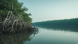
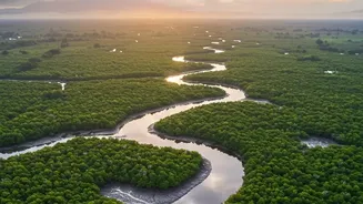
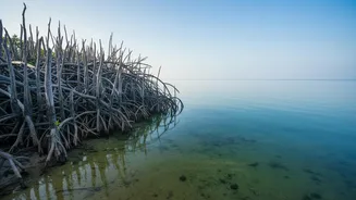
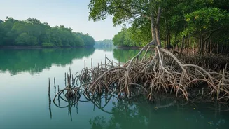
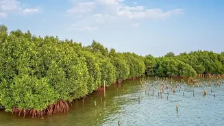
Stretching across India and Bangladesh, the Sundarbans is a UNESCO World Heritage site and a critical buffer against the ravages of nature. Its dense network of mangrove trees and tidal waterways protects coastal communities from storm surges and cyclones
that roar in from the Bay of Bengal. But this natural fortress is facing unprecedented pressure. Rising sea levels, land erosion, and an increase in the frequency and intensity of cyclones are weakening the mangrove ecosystem. For the millions of people who depend on the forest for their livelihood and safety, this erosion of their primary defense line is a slow-motion disaster.
The Limits of Traditional Monitoring
For generations, monitoring the health of this vast, inaccessible forest has been a monumental challenge. Traditional methods, often involving manual surveys and visual inspections, are expensive, time-consuming, and can be prone to error in such a complex and dynamic environment. While satellite imagery provides a high-level overview of deforestation and land loss, it cannot capture the granular, real-time data needed to understand the immediate threats brewing within the tidal system itself, such as changes in water salinity, level, and flow. As climate threats accelerate, the need for a more immediate and precise monitoring system has become critical.
Digital Sentinels Take Watch
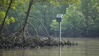
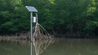
This is where modern technology steps in. Researchers and environmental bodies are now deploying networks of Internet of Things (IoT) sensors throughout the Sundarbans. These small, durable devices are placed in the water and soil to act as digital sentinels. They are designed to measure key environmental parameters in real-time, including water level, salinity, temperature, and soil moisture. This network of sensors provides a constant stream of data, painting a detailed, live picture of the forest's hydrological health and its vulnerability to tidal surges. It’s a significant leap from periodic surveys to continuous, round-the-clock surveillance.
From Data Streams to Early Warnings
The true power of this technology lies in its ability to turn raw data into actionable intelligence. The information collected by the sensors is transmitted wirelessly to a central system for analysis. Algorithms can then process this data to identify anomalies and predict potential threats. For instance, a rapid change in water level and salinity could signal an impending tidal surge, allowing authorities to issue timely warnings to vulnerable villages. This early warning capability is crucial for disaster management, giving communities precious time to evacuate and protect property, drastically reducing the potential for loss of life. The same technology is also being adapted to monitor wildlife, such as using AI-powered cameras to send real-time alerts about tiger movements near villages, helping to mitigate human-animal conflict.
Informing a More Resilient Future
Beyond immediate disaster response, the data gathered by these sensors has long-term conservation benefits. By understanding the precise dynamics of erosion, water flow, and salinity intrusion, ecologists and policymakers can make more informed decisions about where to focus mangrove replanting and habitat restoration efforts. This data helps identify the most vulnerable sections of the coastline and guides the construction of more effective, climate-resilient infrastructure. It represents a shift from a reactive to a proactive approach in conservation, using precise scientific insights to build a more sustainable future for the Sundarbans and its inhabitants.