





The River Connection
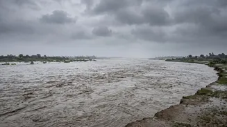
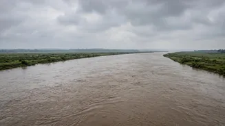
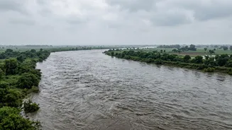
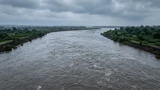
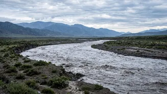
The geography of the region is the primary reason. Major river systems like the Gandak (called Narayani in Nepal), Kosi, and Ghaghara (Karnali) originate in the high Himalayas. They gather immense volumes of water as they carve their way through Nepal's
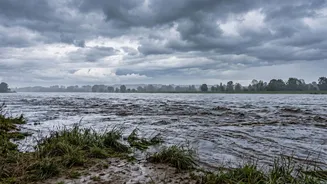
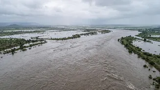
mountainous terrain before descending onto the flat, densely populated Gangetic plains of India. A flash flood or a sudden surge of water from heavy rainfall in Nepal's catchment areas, as seen recently in the Bhote Koshi and Trishuli rivers, travels downstream with immense force. This water flows directly into the Gandak and Kosi systems, causing their levels to swell rapidly in Bihar and Uttar Pradesh. It's a transboundary effect that turns Nepal's weather into a direct concern for millions in India.
Bihar’s High-Risk Zones
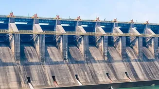
Bihar is particularly vulnerable, with officials putting nine districts on high alert. The Gandak river enters Bihar at Valmikinagar in West Champaran, making it the first and one of the most affected districts. From there, the threat extends to East Champaran, Gopalganj, Muzaffarpur, Saran, and Vaishali, all of which lie along the Gandak's path. Additionally, districts like Sitamarhi, Sheohar, and Madhubani are on alert due to the risk from other river systems like the Bagmati and Kosi. Authorities are closely monitoring the Valmikinagar Barrage on the Gandak, where all 36 gates were recently opened to manage the massive water discharge from Nepal. The low-lying nature of north Bihar makes these areas prone to widespread inundation when rivers breach their embankments.
UP’s Vulnerable Districts
In Uttar Pradesh, the threat is concentrated in the districts of the Terai region bordering Nepal. Chief Minister Yogi Adityanath has directed administrations in Maharajganj and Kushinagar to be on high alert, as the Gandak and Narayani rivers flow through these areas. Other sensitive districts include those along the Ghaghara and Rapti rivers, such as Bahraich, Balrampur, and Gorakhpur. Past flood events have shown that these districts are severely affected when rivers swell due to heavy rains in Nepal's catchment areas. The state administration is evacuating people from vulnerable villages and has deployed National Disaster Response Force (NDRF) teams to handle emergencies.
Who Are The Most Vulnerable?
The most vulnerable are not just those living in the alerted districts, but specific communities within them. People residing in low-lying riverine tracts, known locally as 'diara' lands, are at the highest risk. These areas, often inhabited by marginal farmers, are among the first to be submerged. Villagers living in 'kutcha' houses made of mud and thatch are extremely susceptible to damage from floodwaters. Their homes offer little protection against the surging rivers. Furthermore, the elderly, children, and people with disabilities face the greatest challenges during evacuations. Access to timely information is another critical factor; those in remote villages with poor connectivity may not receive warnings until it is too late. Authorities are using public announcement systems and deploying teams to physically reach these communities, urging them to move to designated shelters.
What Are Authorities Doing?
Both central and state governments have swung into action. Union Home Minister Amit Shah has assured both Bihar and Uttar Pradesh of all possible help. In Bihar, the leave of all engineers and staff in the Water Resources Department has been cancelled to ensure 24/7 monitoring of embankments. NDRF and State Disaster Response Force (SDRF) teams have been deployed to critical districts like West Champaran, Muzaffarpur, and Gopalganj. In Uttar Pradesh, similar deployments are underway in Kushinagar. Evacuations have already begun in the most threatened villages in West Champaran and Kushinagar. Officials are urging citizens not to panic but to remain alert, stay away from riverbanks, and follow official advisories for their safety.